
Listen to Daniel O’Donnell (Head of Product) as he walks through how SMBs can use MetroMap’s high-resolution aerial imagery and tools to quote faster, reduce site visits, and plan with confidence.
READ MORE>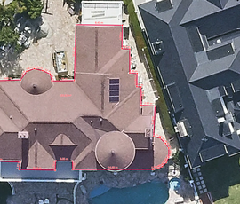
Discover how Oz-Roof is saving time and delivering more accurate quotes in Brisbane using MetroMap’s aerial imagery platform.
READ MORE>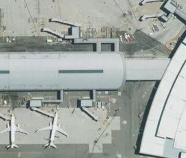
Listen to Linda Skoog, MetroMap Product & Platform Manager at Aerometrex and Gordon Sumerling from Esri Australia as they give an overview of MetroMap Image Dedicated for ArcGIS.
READ MORE>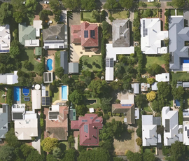
Metromap Insights utilises cutting-edge artificial intelligence to identify swimming pool locations from up-to-date high-resolution imagery.
READ MORE>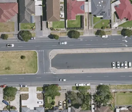
Prime Traffic Solutions has incorporated MetroMap’s high-resolution aerial imagery into their workflow, helping to streamline operations and enabling them to enhance their efficiency and effectiveness
READ MORE>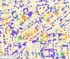
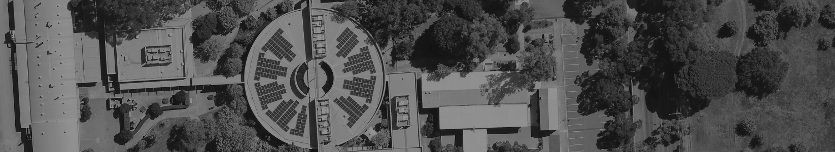
Local and state governments are increasingly turning to advanced technologies, such as aerial imagery and Artificial Intelligence to monitor urban environments.
READ MORE>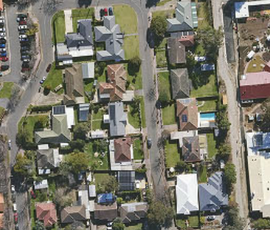
Vacant land parcels can become a significant concern when left neglected, presenting a potential fire risk. MetroMap Insights can help identify & address this risk.
READ MORE>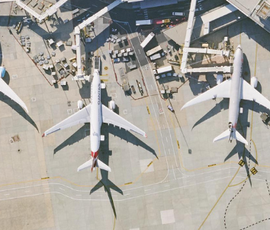
MetroMap has proven to be a game-changer for airports across Australia, simplifying data management, enhancing airport operations, and supporting expansion.
READ MORE>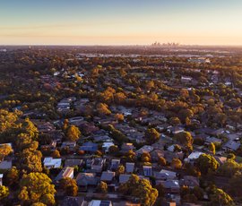
Partnering to build an integrated platform for property professionals
READ MORE>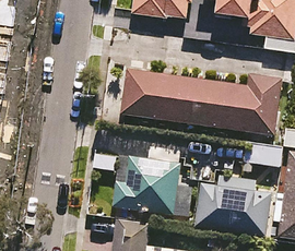
Discover how MetroMap's high-resolution aerial imagery is revolutionising the building and construction industry, enhancing efficiency, and improving safety.
READ MORE>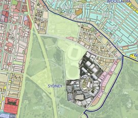
Landchecker is a Melbourne-based property data & technology business providing customers with fast, accurate and easy-to-interpret insights, helping users make informed property decisions.
READ MORE>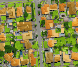
Check out this interview with Isobel Hume at the University of Adelaide, where she speaks about her research on urban agriculture and how she used spatial data to study whether it can be sustainable
READ MORE>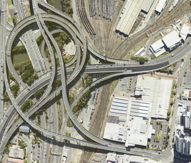
Reducing site visits and increasing productivity is essential to the success of your business and with MetroMap's high-resolution aerial imagery, achieving those goals has never been easier.
READ MORE>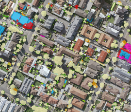
One of the biggest questions facing local councils today is how to measure tree canopy coverage to support their policy development and how to measure the efficacy of those policies.
READ MORE>