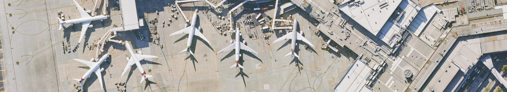
As the demand for air travel continues to soar, airports across Australia are faced with the challenge of efficiently managing their vast premises while ensuring smooth operations and planning for future developments. In this pursuit, many airports across the country have turned to MetroMap, a revolutionary platform that provides historical and up-to-date, accurate, high-resolution aerial imagery.
Based on our discussions with these airport authorities, we’ve explored how the sector is leveraging MetroMap to simplify operations, enhance site maintenance, and support planning.
Airports across Australia choose to use MetroMap's native browser-based MapViewer platform or integrate our high-resolution aerial imagery into their existing GIS portal, ensuring flexibility and ease of access to the imagery via our custom APIs.
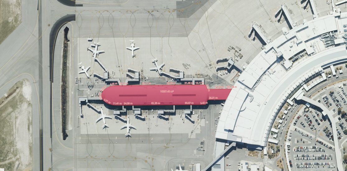
MetroMap imagery streamlines airport GIS management. Instead of relying on labor-intensive CAD drawings, airports can now use MetroMap's high-resolution aerial imagery and spatial tools for precise geolocation and real-world depictions of their premises, creating a single source of truth.
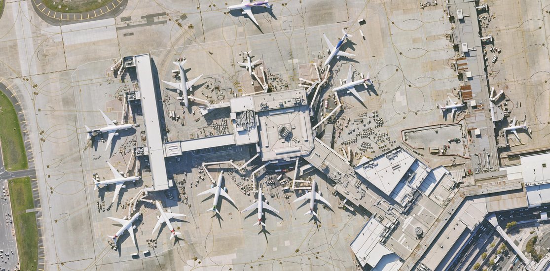
MetroMap imagery plays a crucial role in asset monitoring for airport operations. Airport authorities can track changes in runways, aprons, and taxiways over time, enabling them to identify safety concerns such as pavement cracks and assess maintenance requirements.
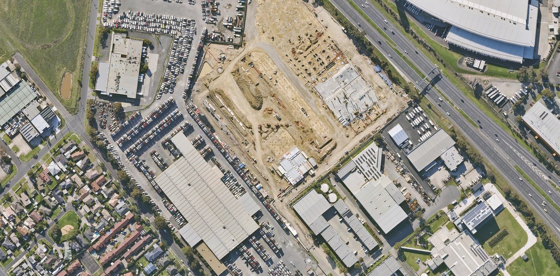
MetroMap imagery is essential for airports with extensive business parks allowing management of ongoing and planned developments. With frequent updates on the landscape changes, airports can effectively showcase the growth and development of their business parks to potential investors and tenants.
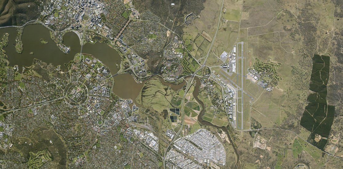
Aerial imagery is a valuable tool for monitoring and tracking areas outside the precinct. Airport Planning Teams use MetroMap to observe the Obstruction Limiting Surface (OLS), ensuring no obstacles could hinder flight safety.
Aerometrex’s aerial imagery solution, MetroMap has proven to be a game-changer for airports across Australia, simplifying data management, enhancing airport operations, and supporting expansion. By leveraging this critical tool, airports can ensure accurate and up-to-date spatial data, leading to informed decision-making and improved overall efficiency. As the aviation industry continues to evolve, MetroMap remains an essential tool for airports across Australia, empowering them to provide seamless experiences for travellers and ensuring safe and efficient operations.
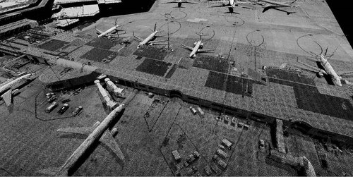
Additionally, Aerometrex offers three-dimensional data from imagery and LiDAR, and derived products such as elevation and infrastructure models that can support digital twins. This allows for a one-stop solution for the airport’s spatial needs.