


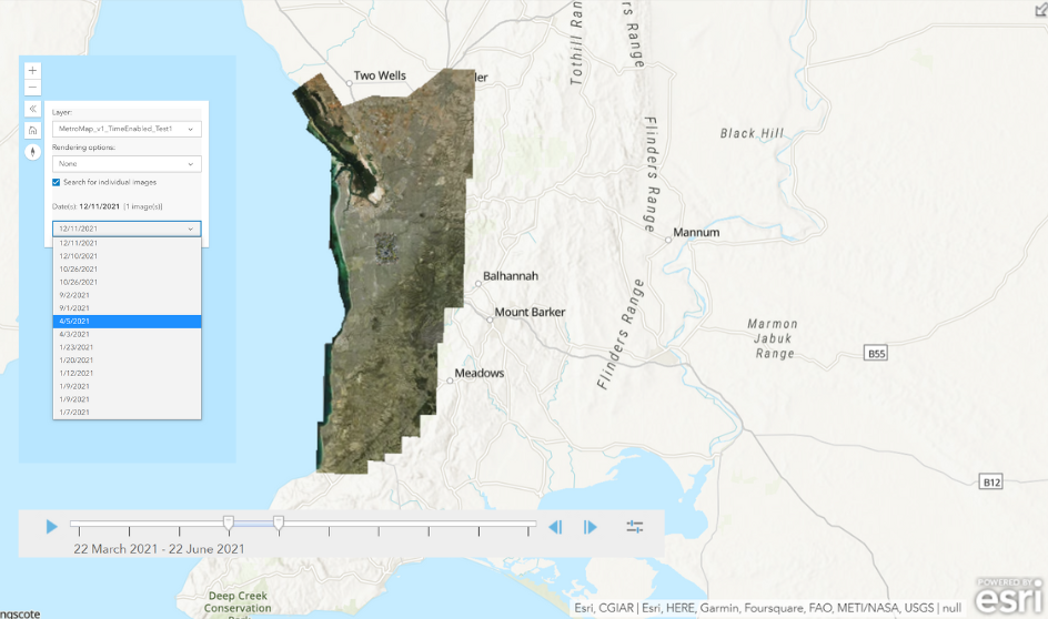
Say goodbye to outdated imagery. Conduct detailed site inspections, take accurate ground measurements, monitor change, see detailed land and building information, and access years of historical imagery without ever leaving your office.
Gain access to up-to-date aerial imagery cost-effectively with our flexible plans & transparent pricing. Choose from our standard plans or custom build one that suits you.
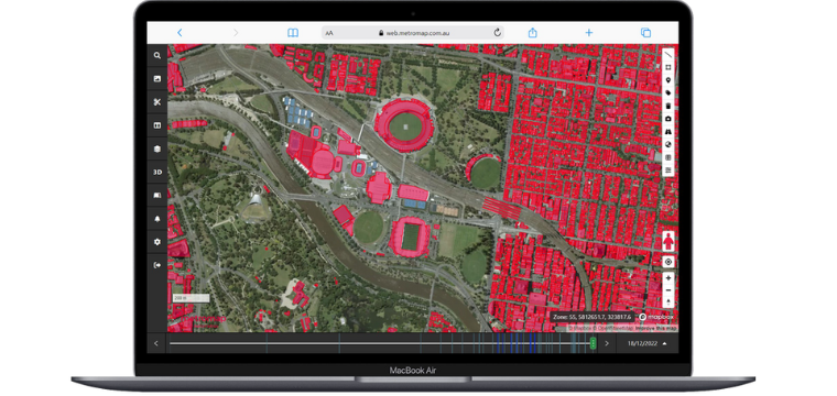
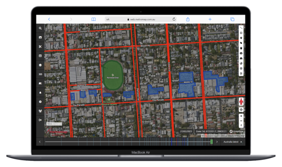
Get easy access via our web-based MapViewer and its extensive tools & features, or import our imagery into your platform of choice with our APIs.
Proudly developed, owned, and operated in Australia, our imagery captures the detail and accuracy needed for local conditions, whether you're planning a backyard project or managing national infrastructure. With extensive coverage and fast local support, you can rely on MetroMap for insights that are truly homegrown.
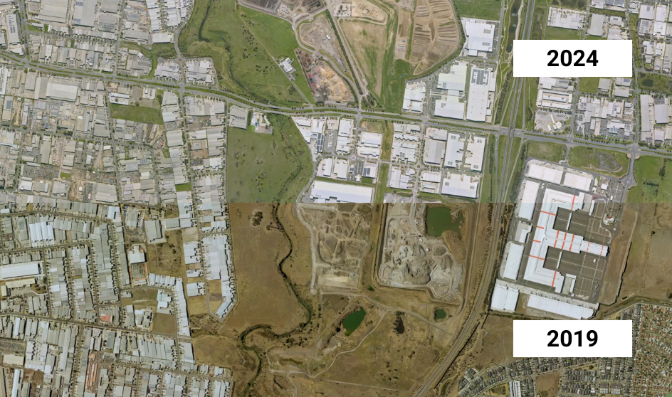
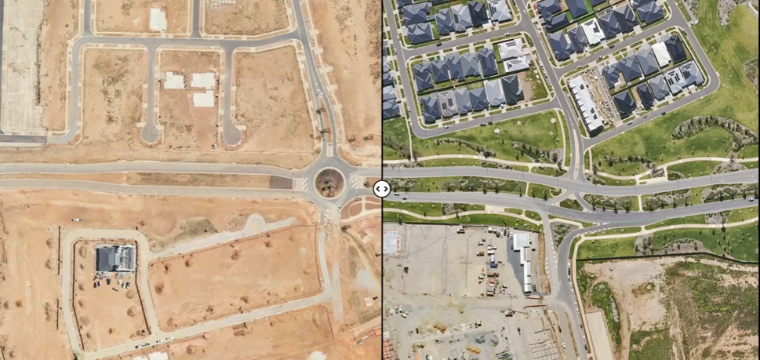
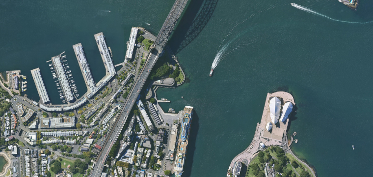
Access high-resolution vertical and oblique imagery to view projects from every angle. Explore years of historical aerial images to track changes.
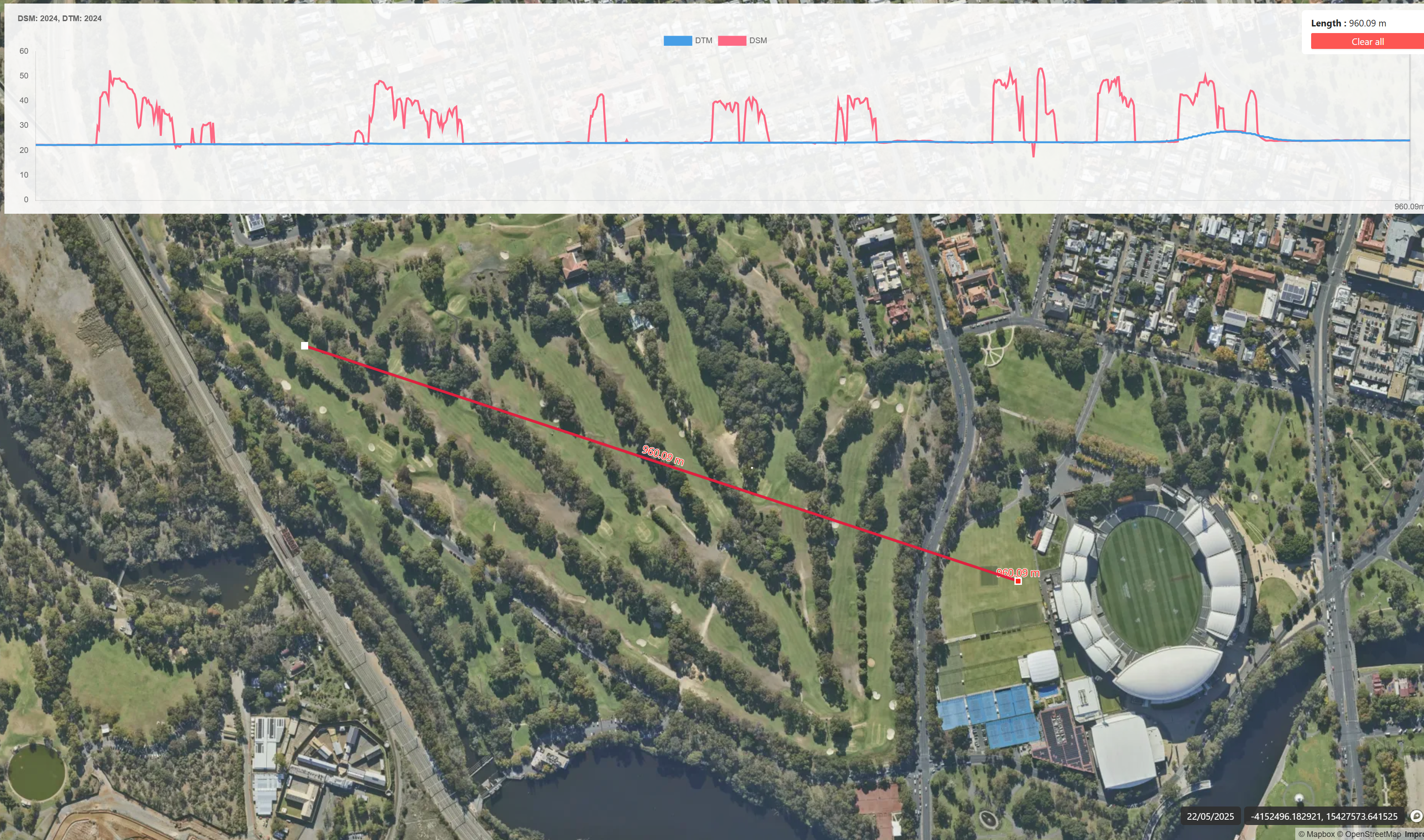
Generate elevation profiles and explore detailed 3D models to understand terrain, slopes, and surface changes for smarter planning and risk management.
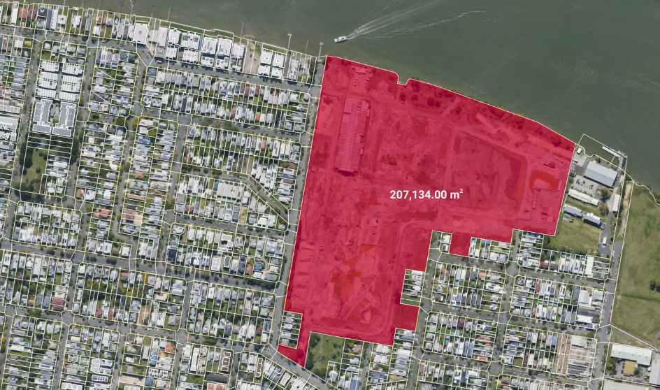
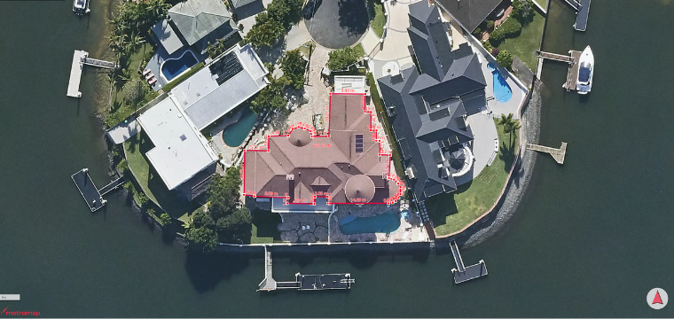
Measure, label, and analyse directly in the MapViewer—cutting down on site visits and supporting faster, more accurate decision-making.
Connect MetroMap with your GIS, CAD, or business systems via API, ensuring seamless data flow and more efficient workflows.
Securely host and manage your own datasets alongside MetroMap imagery, keeping everything centralised, shareable, and easy to access.
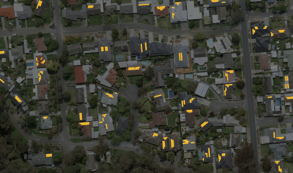
Detect features such as solar panels, pools, and trees with AI, transforming imagery into consistent, actionable property intelligence.