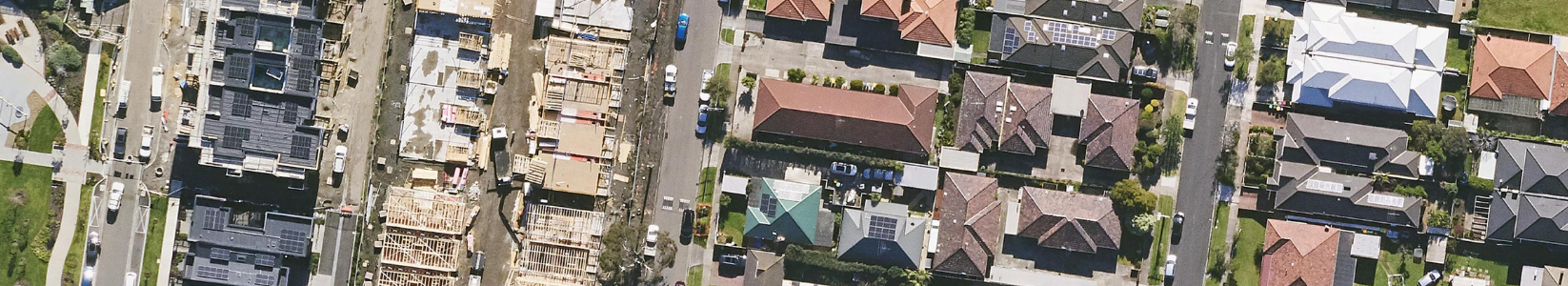
In recent years, advancements in technology have transformed various industries, and the building and construction sector is no exception. Industry professionals are looking for innovative ways to reshape the way construction projects are planned, executed, and managed by leveraging high-resolution, accurate aerial imagery.
MetroMap aerial imagery enables professionals in the building and construction industry to unlock numerous benefits, including limited site visits, increased safety, enhanced visualisation, and reduced waste in the quoting process.
In this blog post, we will explore each of these advantages in detail, highlighting the immense value that MetroMap brings to the industry.
Save time, cost, and enhance safety for your next construction project with MetroMap's high-resolution aerial imagery. Virtually visit sites, gain detailed insights, and review project locations remotely. Streamline processes, increase efficiency, and boost productivity.
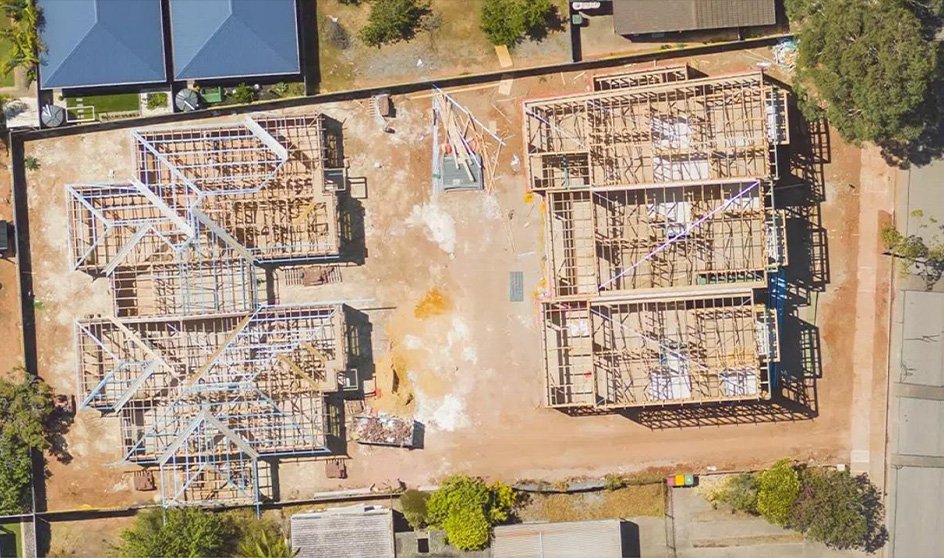
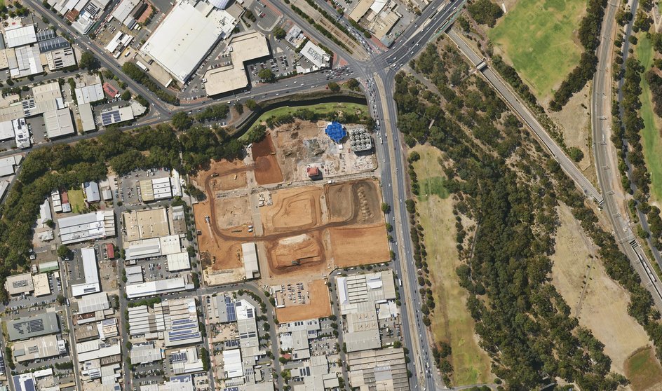
Ensure safety on site with MetroMap's aerial imagery. Assess hazards remotely, gain a comprehensive view of site layout, structures, and terrain. Proactively identify and mitigate safety concerns through virtual inspections and accurate imagery.
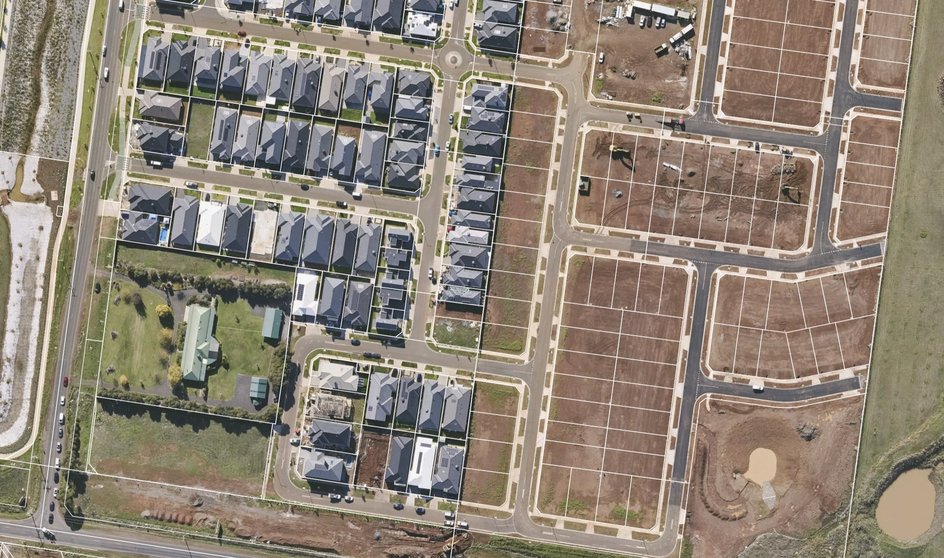
Gain unparalleled visual detail with MetroMap's high-resolution aerial imagery for construction professionals. Understand your sites infrastructure and surroundings, helping to make informed decisions. Improve project execution, and enhance collaboration by visualising projects from start to finish.
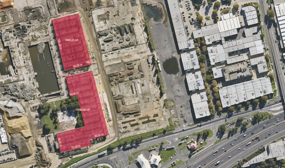
Streamline your quoting process and avoid inaccuracies, time wastage, and material waste. Leverage accurate data and tools for precise measurements and detailed visual information. Generate quicker quotes, improve cost control, and reduce waste for a sustainable impact.
Incorporating MetroMap's high-resolution aerial imagery into your building and construction business provides a powerful solution to enhance efficiency, improve safety, and drive success. By leveraging the most accurate and detailed visual data available, you can streamline processes, make informed decisions, and reduce waste, ultimately boosting your bottom line. Don't miss out on the transformative benefits that MetroMap offers. Take your construction projects to new heights with MetroMap.