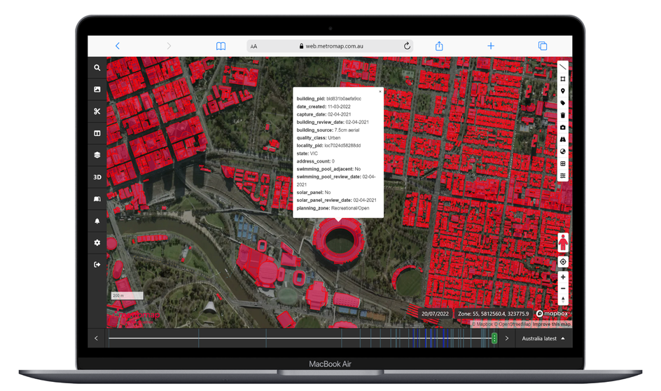
With MetroMap's high-resolution aerial imagery, businesses can quickly and easily gather the data they need without ever leaving the office. This not only saves time but also reduces the costs associated with sending employees out into the field. MetroMap's imagery can be used to create detailed maps, measure distances, and analyze site conditions, all from the comfort of a computer.
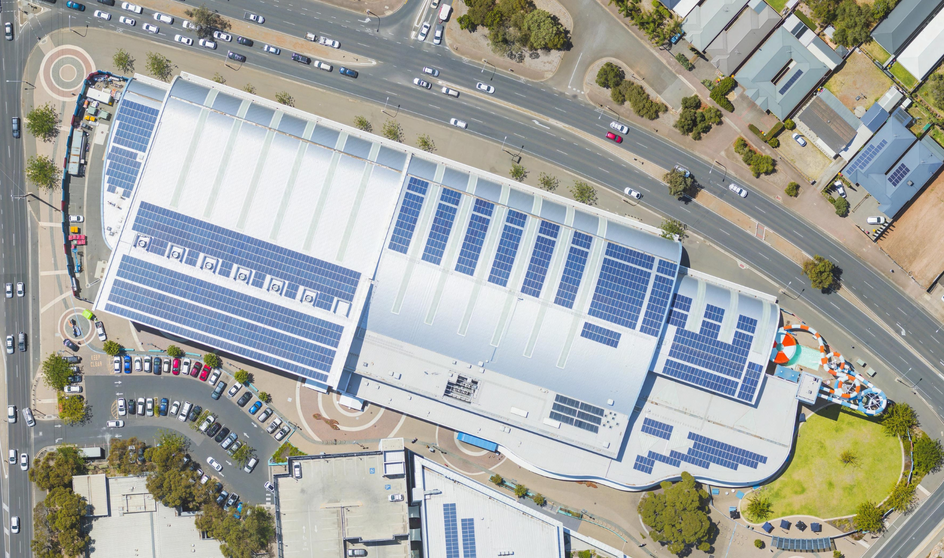
Before beginning a project, it's essential to understand the site conditions. With MetroMap's aerial imagery, businesses can gain a detailed understanding of the terrain, existing structures, and other important details. This information can be used to create more accurate project plans, which can save time and money by reducing the need for revisions later on.
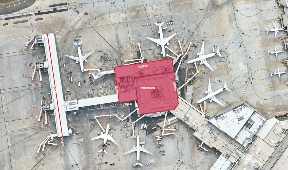
Site visits can have inherent risks, especially in hazardous environments. By using MetroMap's aerial imagery, businesses can reduce the need for on-site visits and minimize the risk of accidents or injuries. This can not only save money on worker's compensation claims but also improve employee morale and productivity.
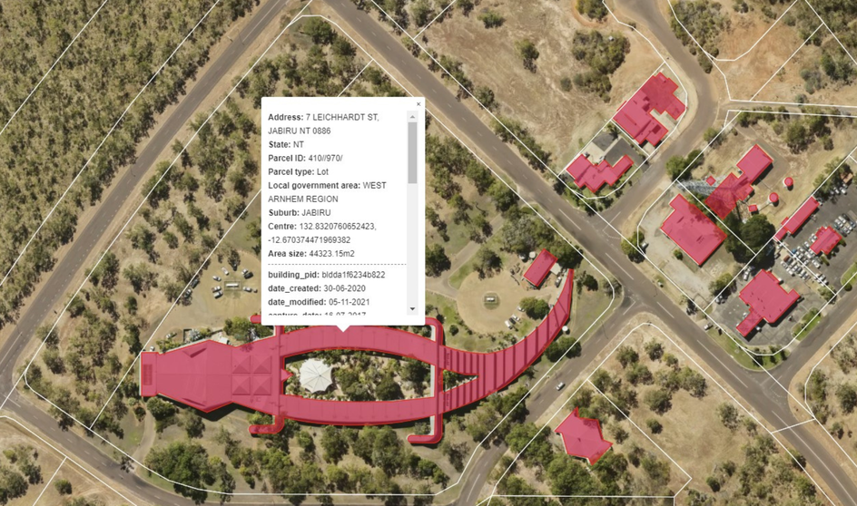
Easily share detailed site information with relevant clients and stakeholders. This can help to reduce the need for on-site meetings and allow for more efficient communication, saving time and money while improving collaboration.
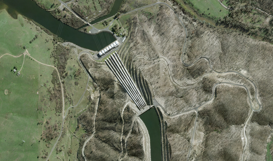
Making informed decisions is critical to the success of any project. Gain a comprehensive understanding of site conditions, which can help you make more informed decisions. This can lead to better outcomes and greater efficiency, ultimately saving time and money in the long run.