


|
Enterprise Plan
|
||
| User Access | |||
| Users | 1 | 5 | Custom |
| Data Allowance1 | Unlimited | Unlimited | Custom |
| Web App Access |
|
|
|
| WMS/WMTS Access |
|
|
|
| MetroMap Image Dedicated for ArcGIS |
|
|
|
| View & Compare Imagery | |||
| Australia-wide high-resolution aerial imagery (historical and current)2 |
|
|
|
| 4-band near-infrared aerial imagery layers |
|
|
|
| Swipe tool: compare different imagery layers |
|
|
|
| Google Street View, base map layers (satellite & roads)3 |
|
|
|
| Measure, Draw and Manage Layers | |||
| Measurement, drawing and labelling tools |
|
|
|
| Save, export and screenshot drawn-up features in layers |
|
|
|
| Import user layers |
|
|
|
| High Resolution Image Downloads | |||
| Download high-resolution images in multiple file types and projections |
|
|
|
| Geoscape Feature Layers and Insights | |||
| Property Boundary (Cadastre) & details4 |
|
|
|
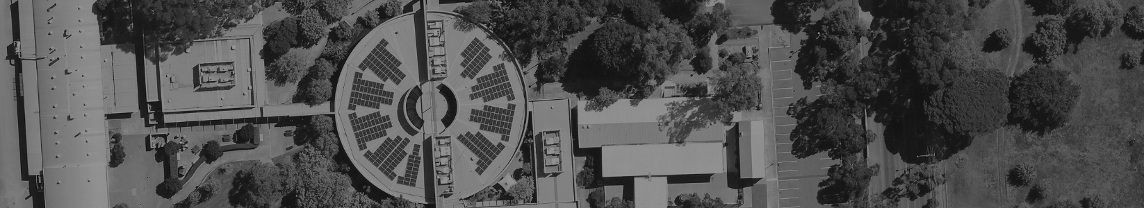
| Building Footprints and insights for roof, solar panel and swimming pool insights |
|
|
|
| Training & Support | |||
| Online documentation and in-app tool tips |
|
|
|
| Customer Support Team |
|
|
|
| Dedicated Account Manager |
|
|
|
| Optional training webinar |
|
|
|
|
| User Access | |
| Users | 1 |
| Data Allowance1 | Unlimited |
| Web App Access |
|
| WMS/WMTS Access |
|
| MetroMap Image Dedicated for ArcGIS |
|
| View & Compare Imagery | |
| Australia-wide high-resolution aerial imagery (historical and current)2 |
|
| 4-band near-infrared aerial imagery layers |
|
| Swipe tool: compare different imagery layers |
|
| Google Street View, base map layers (satellite & roads)3 |
|
| Measure, Draw and Manage Layers | |
| Measurement, drawing and labelling tools |
|
| Save, export and screenshot drawn-up features in layers |
|
| Import user layers |
|
| High Resolution Image Downloads | |
| Download high-resolution images in multiple file types and projections |
|
| Geoscape Feature Layers and Insights | |
| Property Boundary (Cadastre) & details4 |
|
| Building Footprints and insights for roof, solar panel and swimming pool insights |
|
| Training & Support | |
| Online documentation and in-app tool tips |
|
| Customer Support Team |
|
| Dedicated Account Manager |
|
| Optional training webinar |
|
| User Access | |
| Users | 5 |
| Data Allowance1 | Unlimited |
| Web App Access |
|
| WMS/WMTS Access |
|
| MetroMap Image Dedicated for ArcGIS |
|
| View & Compare Imagery | |
| Australia-wide high-resolution aerial imagery (historical and current)2 |
|
| 4-band near-infrared aerial imagery layers |
|
| Swipe tool: compare different imagery layers |
|
| Google Street View, base map layers (satellite & roads)3 |
|
| Measure, Draw and Manage Layers | |
| Measurement, drawing and labelling tools |
|
| Save, export and screenshot drawn-up features in layers |
|
| Import user layers |
|
| High Resolution Image Downloads | |
| Download high-resolution images in multiple file types and projections |
|
| Geoscape Feature Layers and Insights | |
| Property Boundary (Cadastre) & details4 |
|
| Building Footprints and insights for roof, solar panel and swimming pool insights |
|
| Training & Support | |
| Online documentation and in-app tool tips |
|
| Customer Support Team |
|
| Dedicated Account Manager |
|
| Optional training webinar |
|
| User Access | |
| Users | Custom |
| Data Allowance1 | Custom |
| Web App Access |
|
| WMS/WMTS Access |
|
| MetroMap Image Dedicated for ArcGIS |
|
| View & Compare Imagery | |
| Australia-wide high-resolution aerial imagery (historical and current)2 |
|
| 4-band near-infrared aerial imagery layers |
|
| Swipe tool: compare different imagery layers |
|
| Google Street View, base map layers (satellite & roads)3 |
|
| Measure, Draw and Manage Layers | |
| Measurement, drawing and labelling tools |
|
| Save, export and screenshot drawn-up features in layers |
|
| Import user layers |
|
| High Resolution Image Downloads | |
| Download high-resolution images in multiple file types and projections |
|
| Geoscape Feature Layers and Insights | |
| Property Boundary (Cadastre) & details4 |
|
| Building Footprints and insights for roof, solar panel and swimming pool insights |
|
| Training & Support | |
| Online documentation and in-app tool tips |
|
| Customer Support Team |
|
| Dedicated Account Manager |
|
| Optional training webinar |
|