Experience More Angles with Multi-Directional, High-Resolution Aerial Imagery

MetroMap Obliques are high-res aerial images captured at approx. 45° viewing angle, offering enhanced perspectives alongside traditional aerial imagery. This view reveals details hidden beneath tall buildings, trees, and other obstacles, enhancing your understanding of complex urban environments.

MM Obliques 4 Images - Multi Directional View (2)

North, South, East, and West facing views of a location as seen in MetroMap's Oblique Viewer
Users can switch between images to reveal details hidden in conventional aerial views and access multiple perspectives of the same location - ideal for planning and visual analysis in dense urban areas.

MetroMap Obliques
MetroMap Oblique Imagery

Key Features

tick
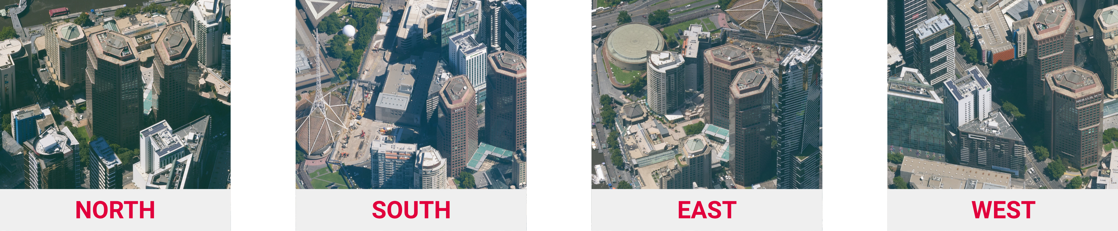
MULTIPLE DIRECTIONAL VIEWS Easily switch between fixed cardinal directions (North, South, East, West) to explore your site from various angles and gain a comprehensive perspective.
tick
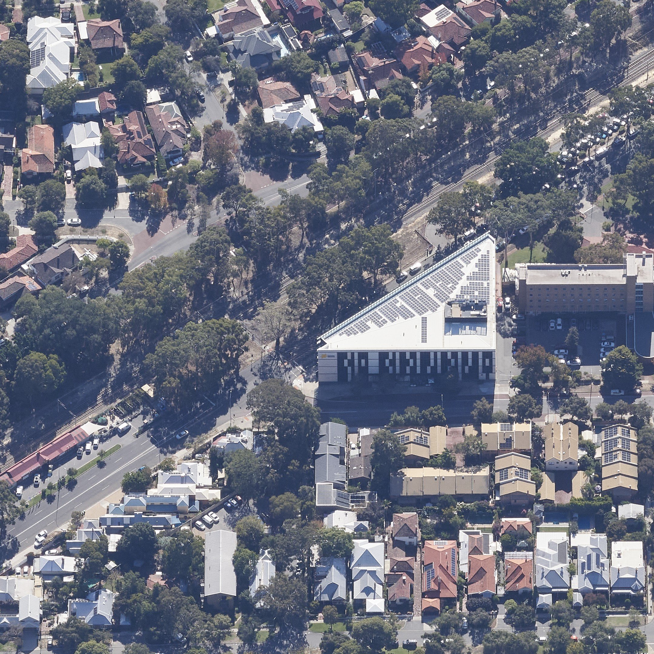
HIGH-RESOLUTION IMAGERY Enjoy sharp, clear images allowing for detailed visual assessments.
tick
SEAMLESS INTEGRATION MetroMap Obliques are fully integrated into MetroMap’s MapViewer, alongside high-resolution 3-band and 4-band aerial imagery layers, for effortless comparison and analysis.
tick
COVERAGE IN MAJOR CITIES NATIONWIDE Access oblique imagery for high-density capital city areas across the country, with new areas being added regularly.
MetroMap Obliques Use Cases

How MetroMap Obliques Can Help

Site Planning Icon
Site Planning & Feasibility Assessment
Evaluate locations effectively by viewing structures and surrounding context from multiple angles to inform design, development, and planning decisions.
Asset Inspections Icon
Property and Asset Inspections
Gain better visibility of building façades, infrastructure, and assets to support assessments, maintenance planning, and reporting.
Condition Analysis Icon
Condition & Accessibility Analysis
Identify site constraints, access points, and potential risks that may be obscured in conventional aerial imagery.
Change Monitoring Icon
Change Monitoring and Documentation
Track changes over time with multiple perspectives for more informed decision-making and historical records.
Stakeholder Communication Icon
Stakeholder Communication & Approvals
Enhance presentations and engagement with visual perspectives that help further convey site characteristics to stakeholders and approval authorities.

Unlock New Perspectives with MetroMap Obliques

Discover how multi-directional aerial imagery can enhance your spatial awareness, uncover hidden details, and support better decisions. Contact us to learn more or request a demo.