


Plan and monitor transport routes across ports, rail networks, airports, and major logistics hubs. Ensure smooth cargo movement and reduce operational delays with accurate, up-to-date aerial insights.
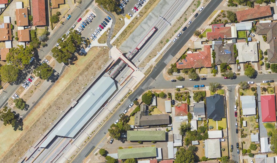
Track conditions across rail networks, yards, and stations. Identify maintenance needs early, improve asset management, and support strategic planning for safe, efficient rail transport.
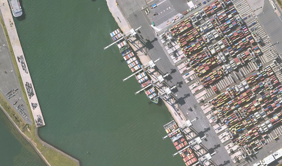
Assess container yards, docks, and terminals to optimise cargo handling and storage. Gain insights for operational planning, safety, and efficient logistics management across port facilities.
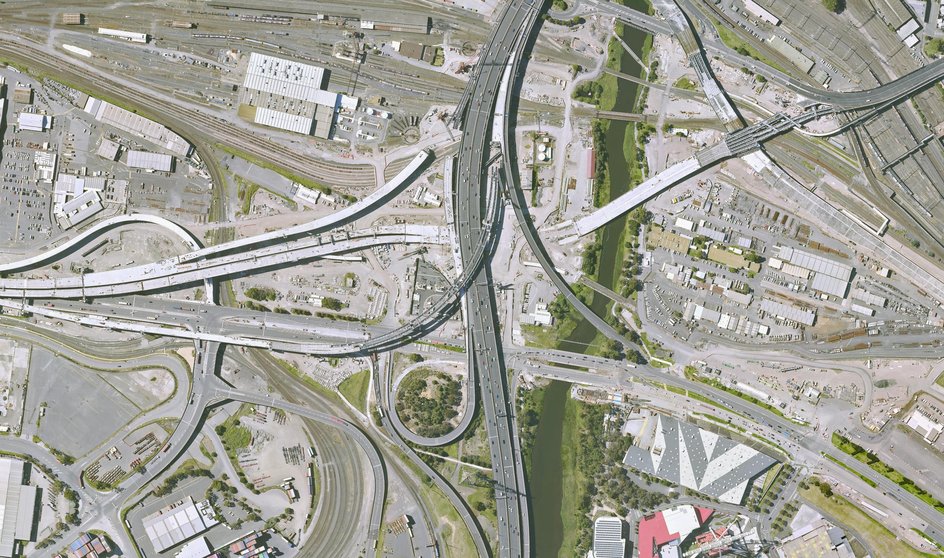
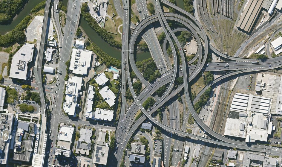
Analyse vehicle flows, loading areas, and network access. Streamline operations, improve turnaround times, and make data-driven decisions for faster, safer logistics across multi-modal hubs.
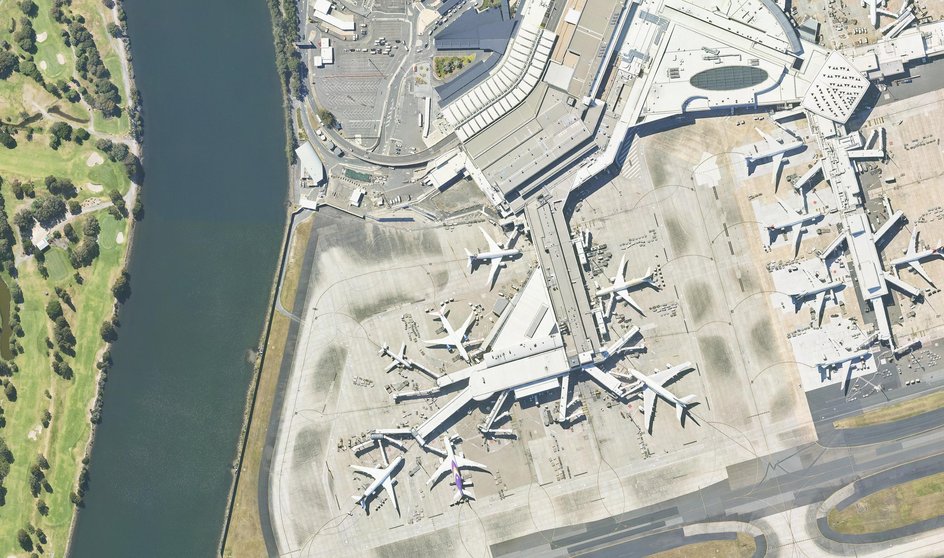
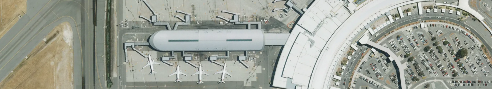
Evaluate runways, taxiways, and terminals to plan maintenance, expansions, or repairs. Monitor operations over time and reduce downtime with historical and current aerial data.