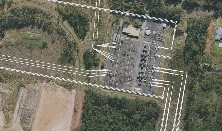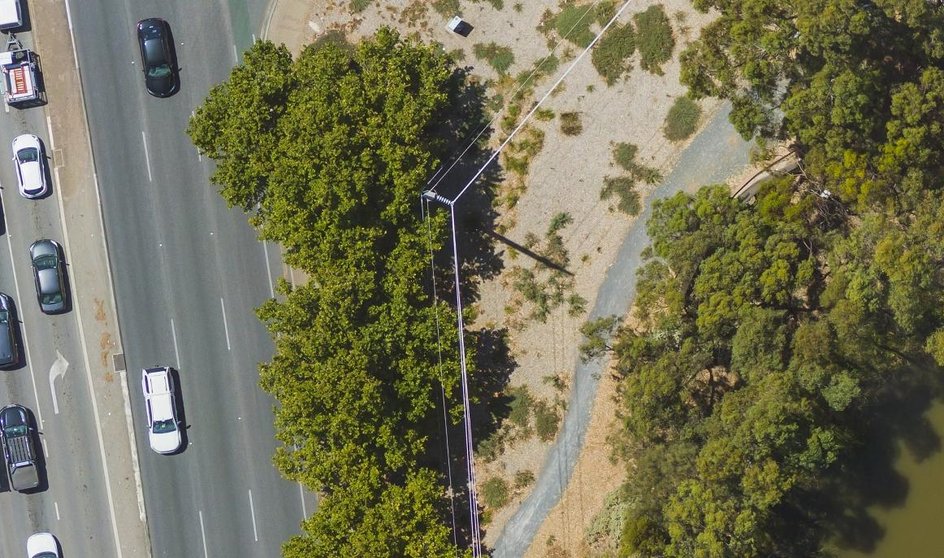
Utilise high-resolution imagery to assess terrain and existing infrastructure, facilitating precise placement of towers and cables. Simulate network designs to mitigate risks and optimise performance, ensuring efficient and cost-effective deployment.

Conduct comprehensive inspections of towers, lines, and access points remotely, identifying potential issues before they escalate. Regularly updated imagery supports proactive maintenance, reducing downtime and improving safety standards.

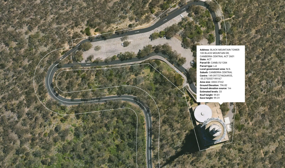
Identify optimal locations for 5G infrastructure using detailed aerial imagery. Assess factors such as line of sight and environmental impact to ensure efficient and discreet deployment, reducing delays and enhancing network performance.

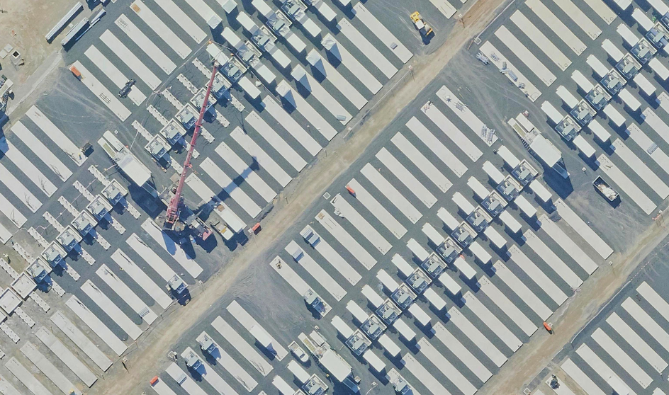
Utilise high-resolution imagery to predict network demands and schedule maintenance activities effectively. Detect faults early and provide field teams with precise information, ensuring timely repairs and uninterrupted service.