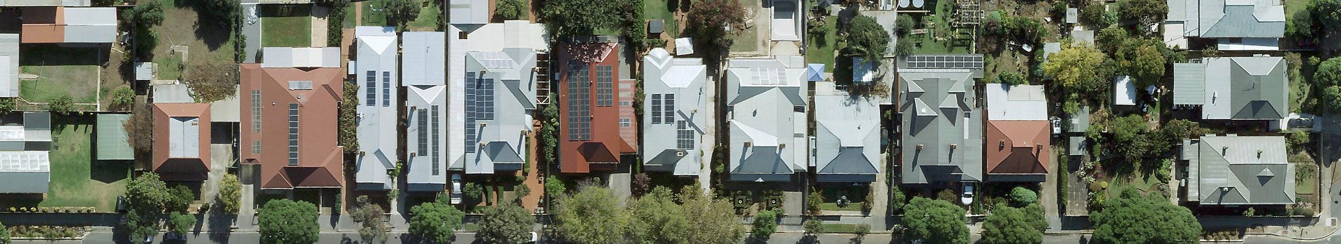
MetroMap provides high-resolution aerial imagery of millions of commercial and residential rooftops across Australia. Regular updates ensure you always have the latest roof data for accurate assessments, planning, and decision-making.
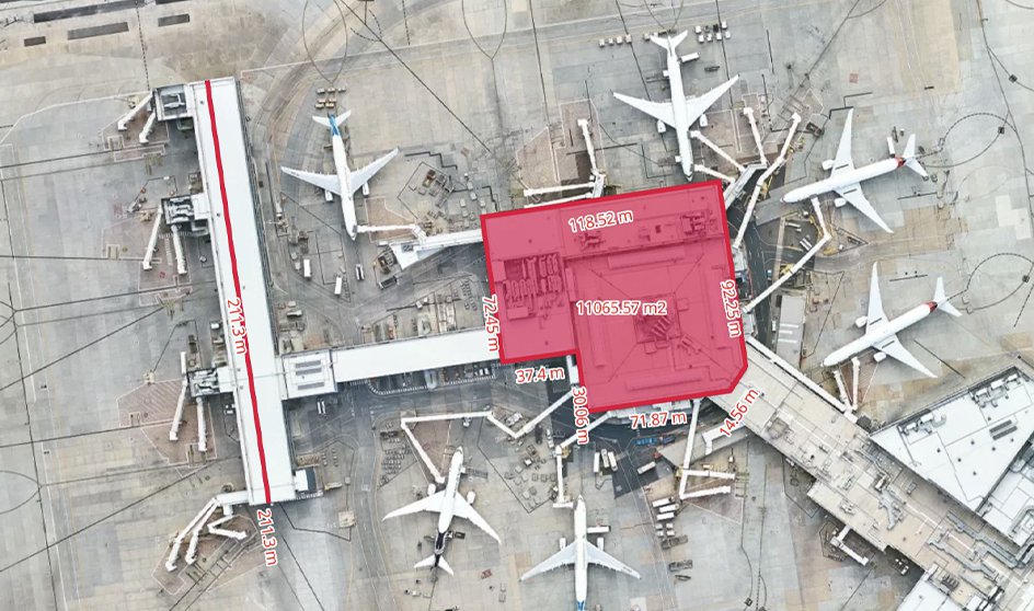
Use MetroMap's precise geolocation and built-in measurement tools to quickly obtain roof dimensions. Streamline quotes, reduce on-site visits, and ensure accurate planning, saving time and costs on every project.
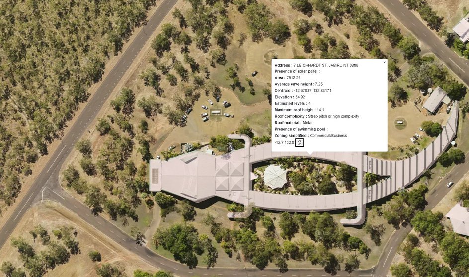
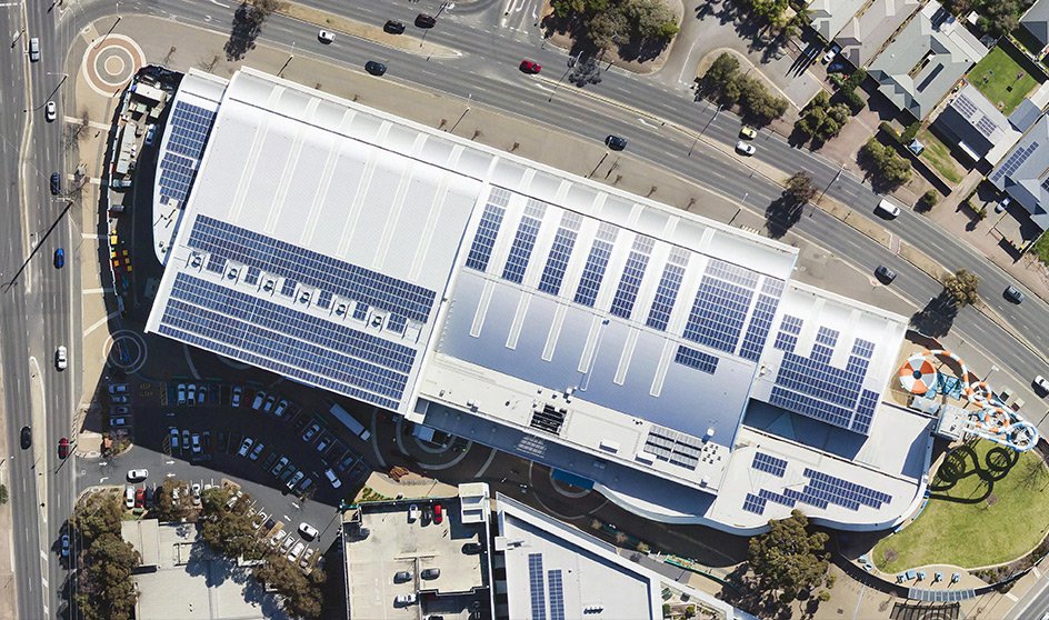
Enhance your planning with the Building Footprint layer to access detailed roof data, including eave and maximum heights, complexity, materials, pitch, and solar panel presence. Make fully informed decisions for installations and maintenance.
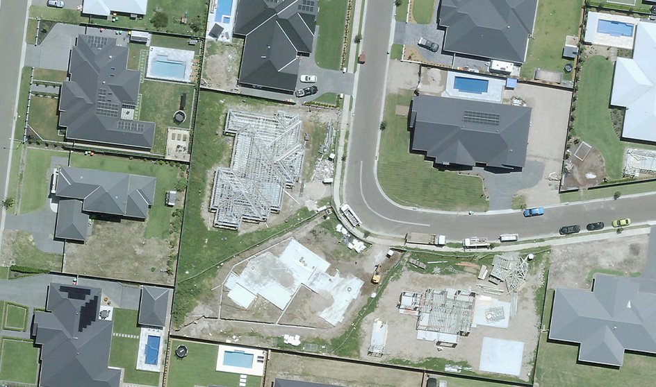
Inspect sites and their surroundings without leaving your office. Check property access, parking, and plan material stockpiles with MetroMap’s aerial imagery, ensuring efficient planning, safer operations, and reduced travel costs.
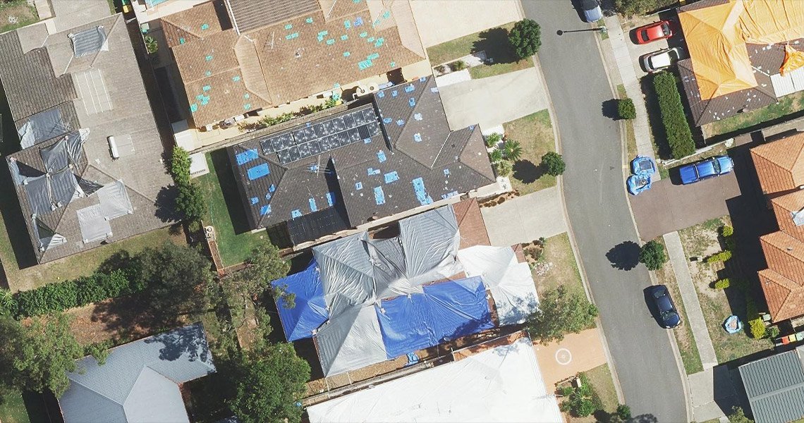
Leverage MetroMap’s regular updates to track changes in roofs, buildings, and surrounding environments. Use the swipe tool to compare historical data side-by-side, helping with maintenance planning, project assessments, and identifying risks early.