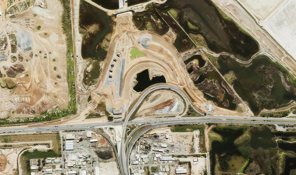
Plan, monitor, and manage road networks with up-to-date, high-resolution imagery. From traffic control to line marking, MetroMap provides the clarity you need to streamline operations, reduce site visits, and improve safety outcomes.
View roads at scale then zoom in to see the finest details & get the big picture, helping you conduct remote inspections and assess change over time.

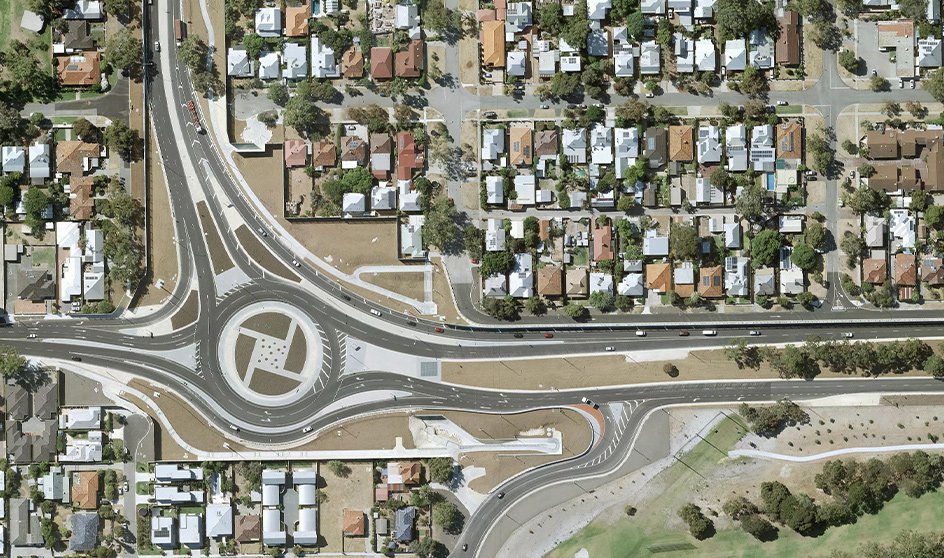
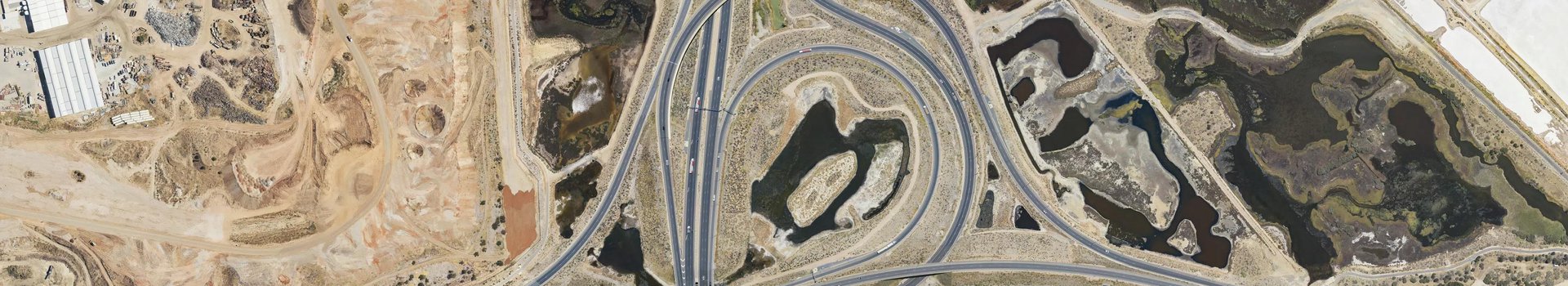
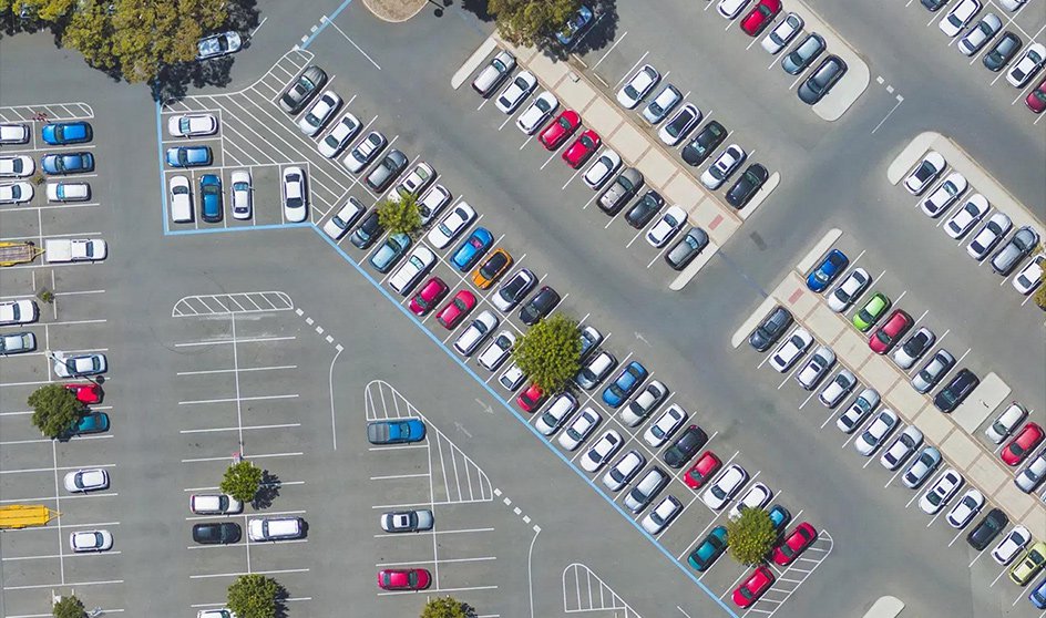
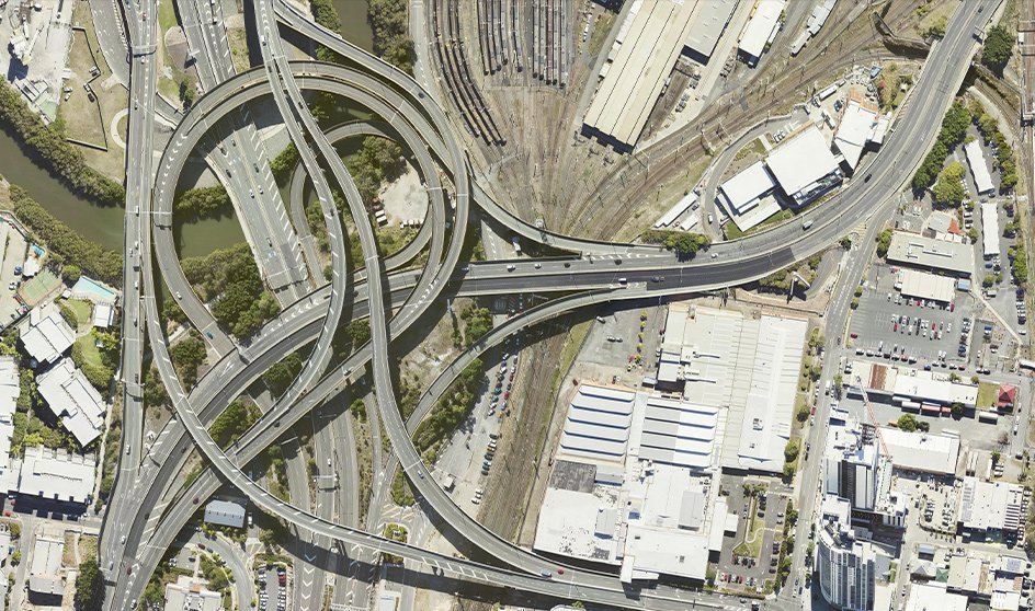
From a full highway network to a single line marking, MetroMap delivers the clarity you need. View intersections, lanes, car parks, driveways, trees, and every roadside asset with ease. Then zoom in to inspect the fine detail — from road markings to manhole covers and street furniture.
Assess roads and work sites remotely with MetroMap’s simple browser interface. Save travel time, cut on-site inspection costs, and access up-to-date views of Australian roads from anywhere with an internet connection.
Measure distances and areas with centimetre-level accuracy using MetroMap’s line and polygon tools. Finalise key measurements in advance, reducing the need for extended fieldwork, road closures, and costly crew time.
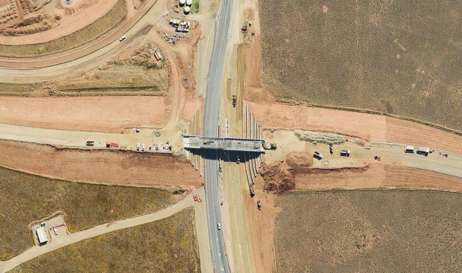
With regular imagery updates, monitor how roads and traffic assets change over time. Identify surface wear, spot potholes and cracks, and pinpoint when damage began - even long after a project is complete.
Export MetroMap imagery for offline use in your CAD or GIS software. From quick screenshots to large, high-resolution, geo-referenced files in multiple projections - perfect for site plans, reports, and project documentation.