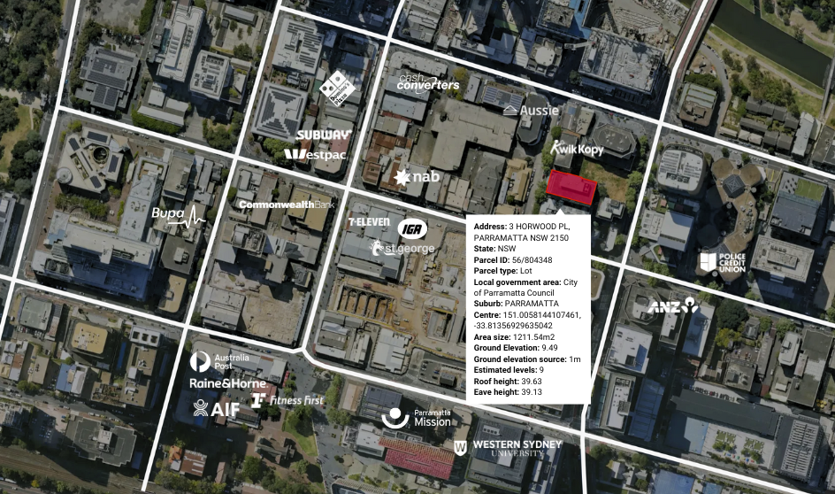
Use detailed elevation data to identify flood-prone areas, assess drainage, and understand site constraints. This insight helps reduce risks, plan developments more effectively, and make confident investment decisions with a clearer view of your properties’ physical landscape.
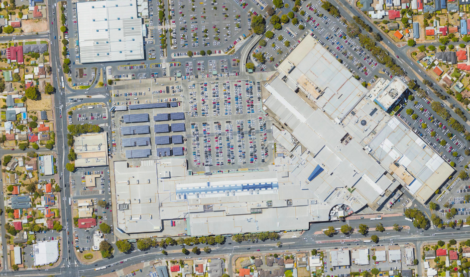
Leverage MetroMap’s detailed imagery and data layers to analyse population growth, nearby competitors, and land use patterns. Identify strategic locations that match your expansion goals, helping your business grow with confidence and insight.
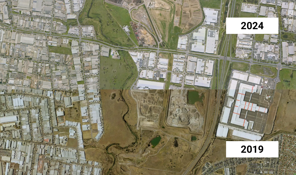
Access years of historical aerial images to track changes over time, verify property conditions, and support long-term asset management strategies. Historical data helps you make informed decisions and plan for the future.
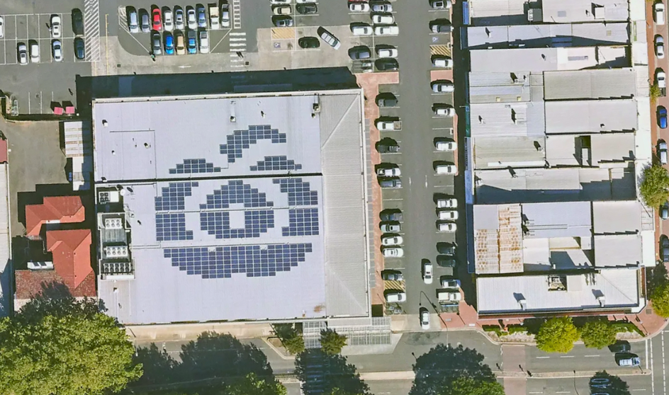
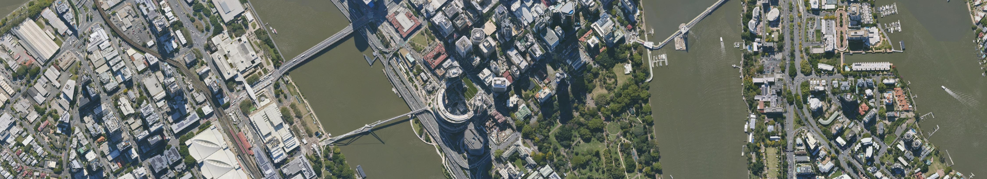
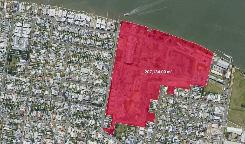
Access current, high-resolution aerial and oblique imagery to get a comprehensive view of all your sites. Easily upload and overlay your property data to monitor boundaries, buildings, and site conditions - simplifying portfolio oversight and decision-making.
Embed MetroMap’s premium aerial imagery and location data into your existing property management platforms through our flexible API. Work within your current systems while accessing the detailed insights you need, without switching tools.