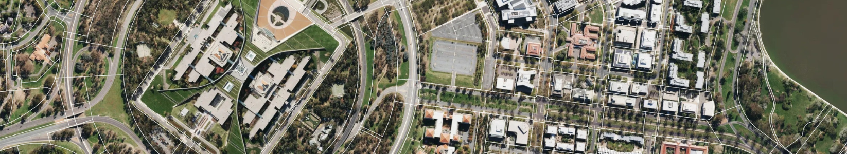
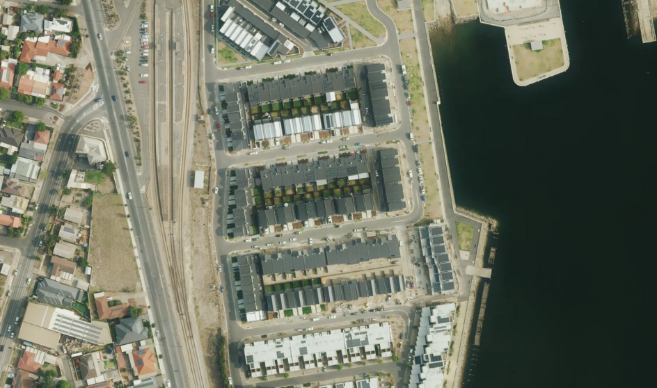
Use high-resolution imagery to assess land use, zoning, and development opportunities. Make planning decisions with confidence, reduce on-site surveys, and improve efficiency across your council's planning teams.
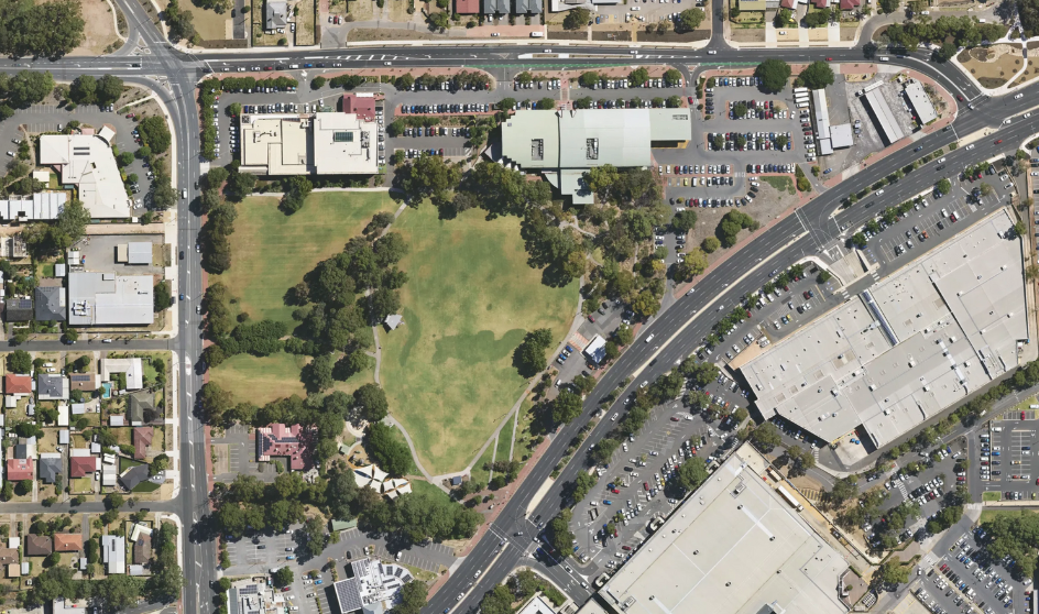
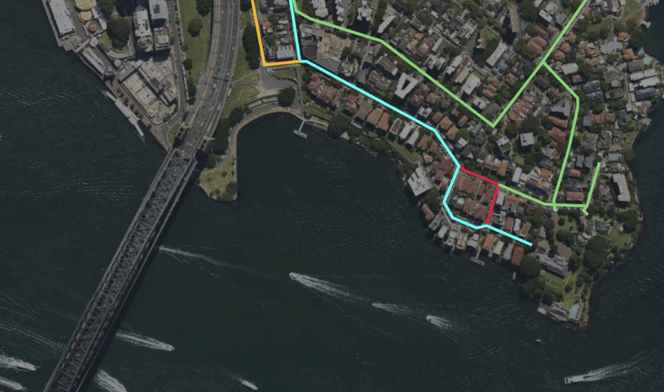
Monitor roads, parks, and public facilities with precise aerial data. Track changes over time, plan maintenance, and allocate resources effectively to extend asset lifespan and reduce operational costs.
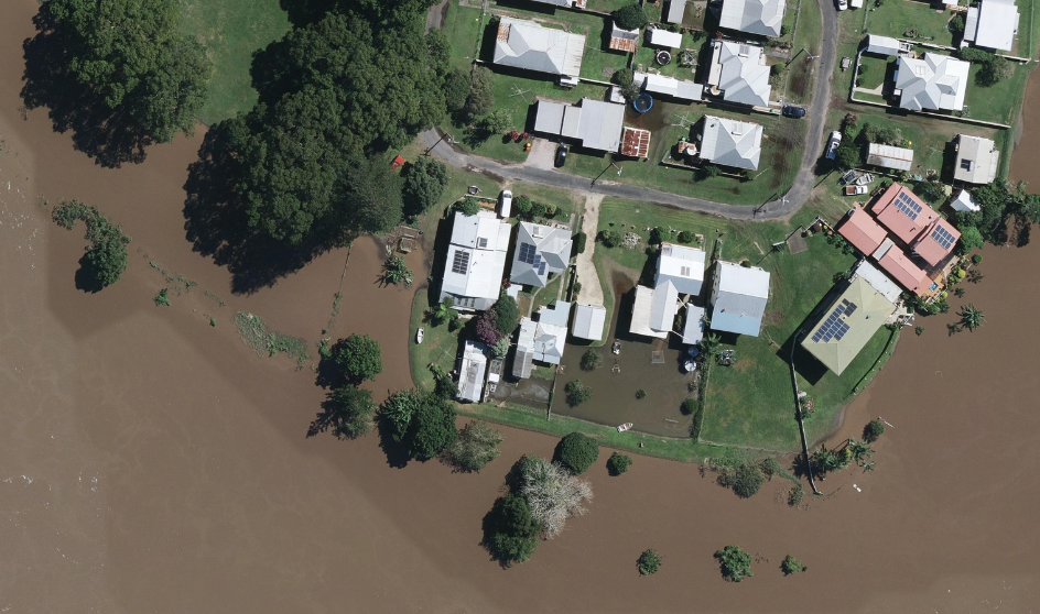
Identify flood zones, bushfire risks, and other environmental hazards. Use aerial insights to plan mitigation, improve community safety, and respond quickly to changing conditions.
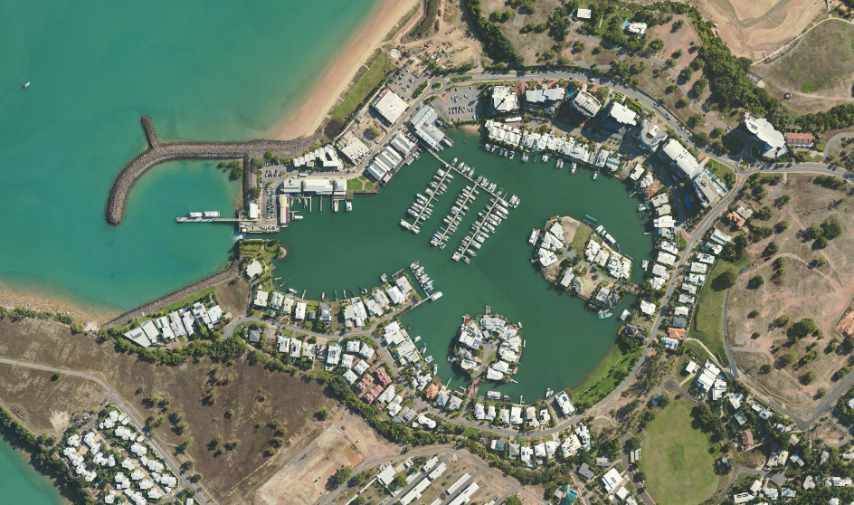
Evaluate council-owned or managed properties remotely. Determine land boundaries, building footprints, and site conditions to support valuations, leasing, and compliance activities efficiently.
Combine imagery with GIS layers and historical records to gain actionable insights. Improve reporting, justify council decisions, and provide transparency to stakeholders and the community.