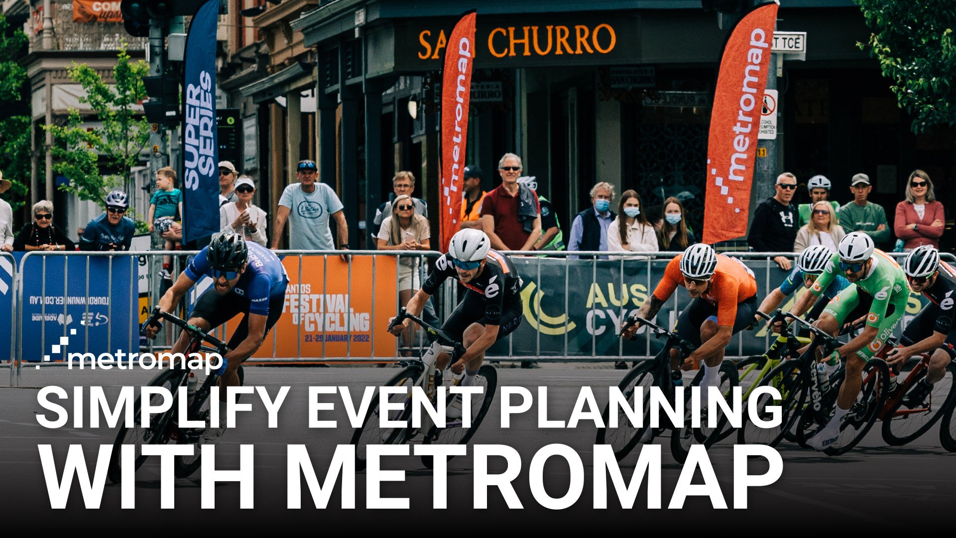
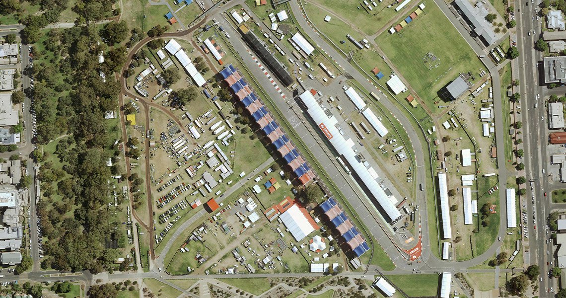
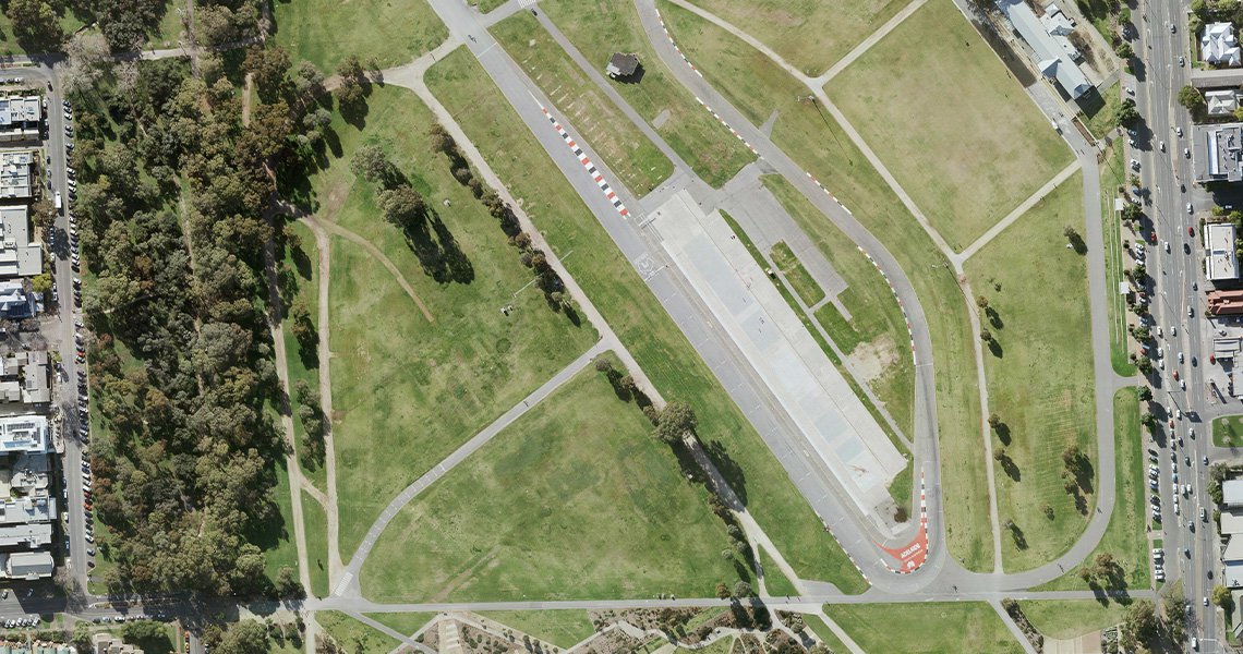
Listen to Jake Thomas of AusCycling detail how MetroMap helped plan the 2021 Super Series, a 9-stage bike racing series across metropolitan and regional SA.
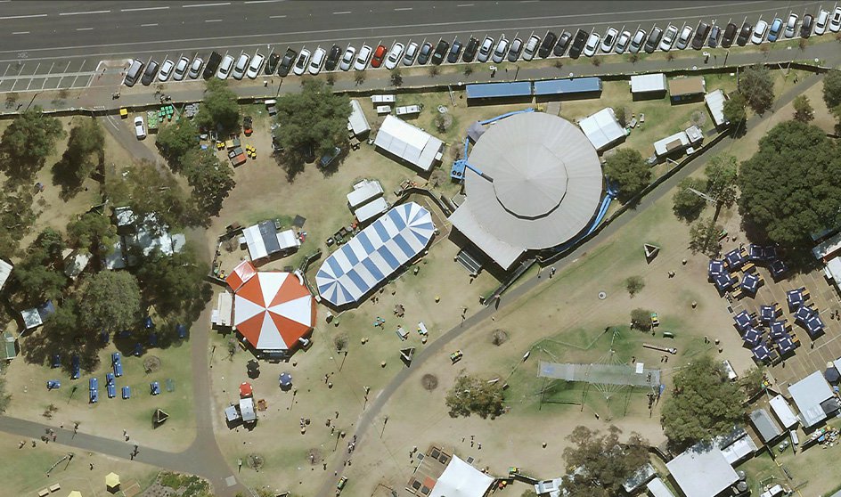
Leverage MetroMap’s high-resolution imagery and precise measurement tools to conduct detailed site inspections remotely. Accurately measure distances, simulate structures, and plan layouts without the need for on-site visits, saving time and resources.
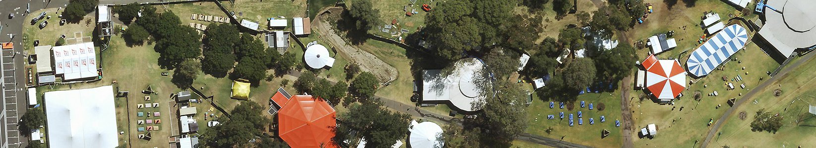
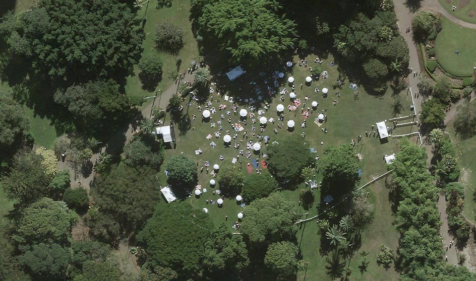
Utilise MetroMap’s comprehensive aerial imagery to manage not only your event site but also its surroundings. Plan for parking, traffic flow, security, and storage areas with detailed visual data, ensuring a holistic approach to event logistics.
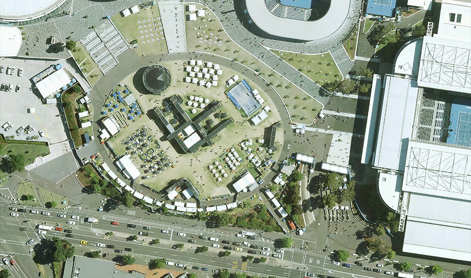
Enhance stakeholder communication with MetroMap’s high-resolution aerial imagery. Present detailed, real-world visuals of your event plans to facilitate clearer discussions, expedite approvals, and ensure all parties are aligned.
Equip your construction teams with accurate, feature-rich site maps from MetroMap. Minimise miscommunications and delays by providing a single, detailed reference point, streamlining the build process and enhancing efficiency.