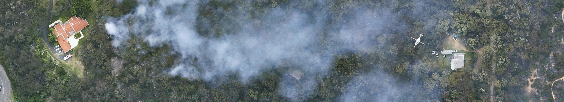
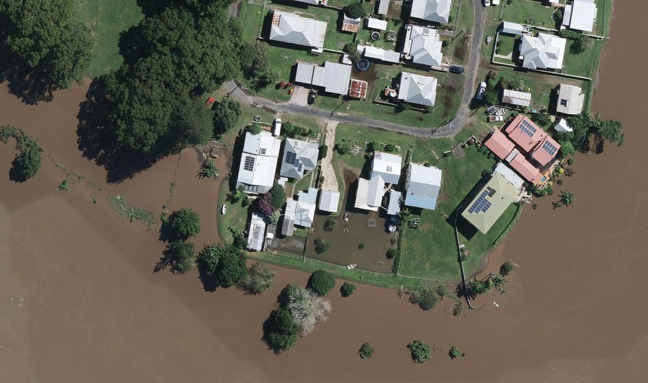
Identify high-risk areas and critical infrastructure with precise aerial imagery. Develop comprehensive mitigation strategies, including evacuation planning and hazard mapping, to reduce disaster impacts and improve community safety and resilience.
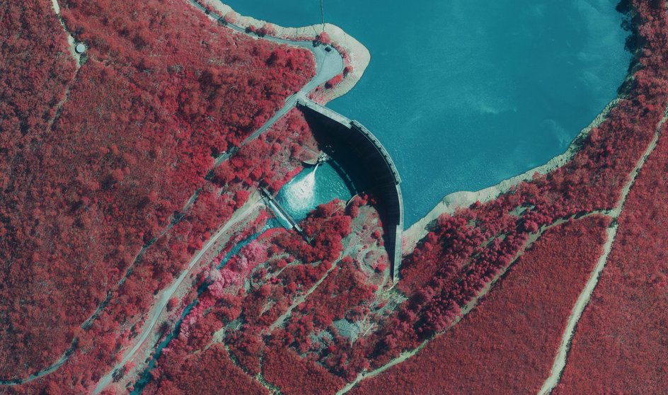
Utilise detailed aerial data to assess climate impacts, monitor vegetation health, and observe urban growth patterns. These insights support evidence-based decision-making for environmental protection and sustainable development.
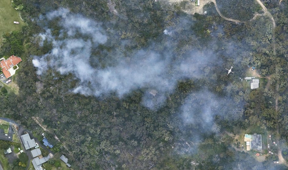
Equip emergency responders with up-to-date geospatial information to accelerate response efforts. Detailed maps of critical assets and predicted disaster paths enable efficient evacuation and resource deployment to safeguard lives and property.
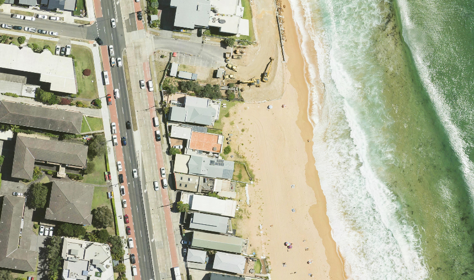
Track changes in ecosystems, such as coastal erosion, vegetation health, and urban expansion, using historical and current imagery. These insights aid ongoing environmental assessments, conservation efforts, and urban planning initiatives.