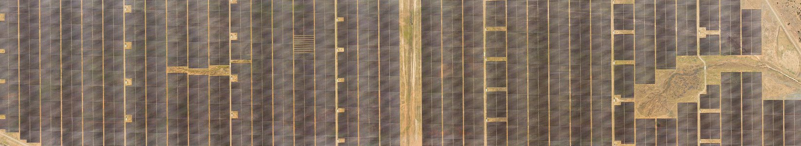
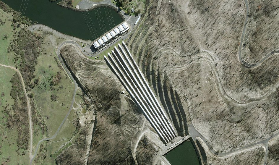
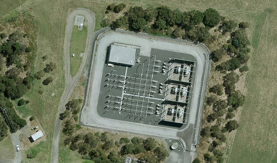
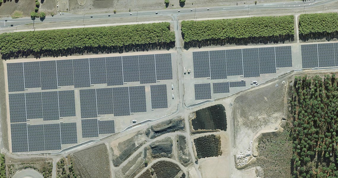
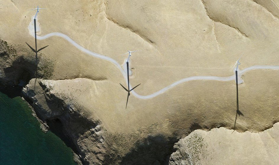
Our georeferenced imagery allows accurate asset location and condition assessment. View your sites at different scales, enabling clear communication with maintenance crews and stakeholders relying on precise geolocation and quality imagery.
MetroMap’s imagery offers a wide view beyond your immediate site, helping you identify operational risks such as vegetation encroachment or nearby developments that could affect your infrastructure.
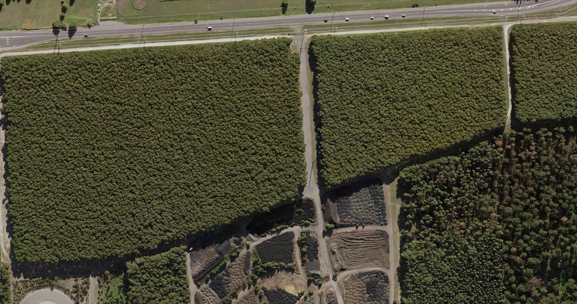
With regular updates and access to historical archives, MetroMap enables monitoring of changes to natural and built environments, supporting proactive asset management and risk mitigation.
Access MetroMap imagery through an intuitive web app or integrate it directly into your systems via API. This flexibility supports all users, from field staff to data analysts, working seamlessly within their preferred platforms and workflows.
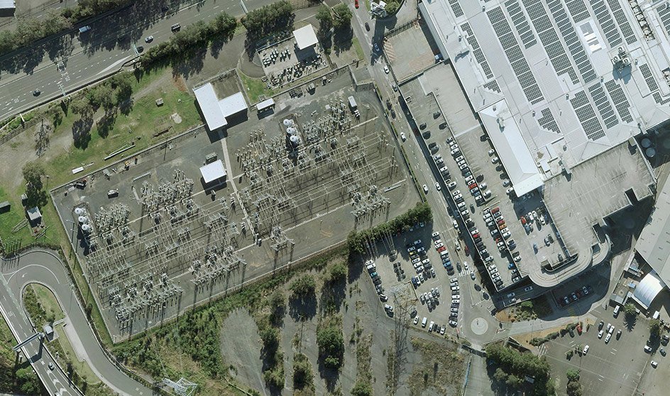
MetroMap covers over 8.5 million dwellings and related utility infrastructure. Urban centres receive 2 to 4 captures annually, and regional towns have yearly updates, ensuring your data remains up to date for informed decisions.