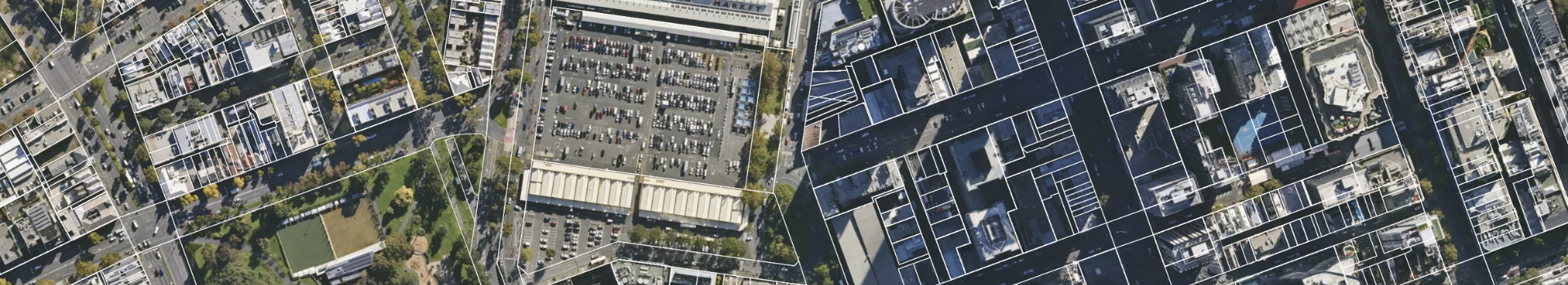


Utilise detailed, high-resolution aerial imagery to inform project planning. Incorporate accurate visuals to identify potential risks, optimise site layouts, and ensure compliance with environmental regulations, laying a solid foundation for successful projects.

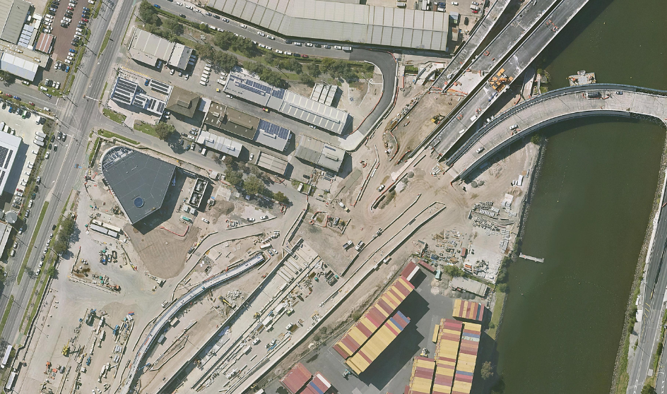
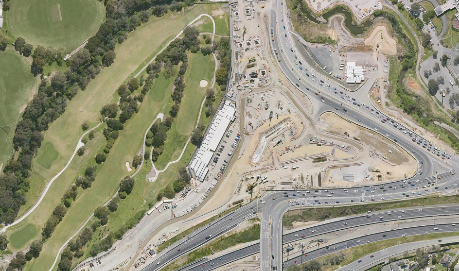
Monitor construction progress with up-to-date aerial imagery. Detect on-site challenges promptly, adjust plans as needed, and track developments comprehensively to minimise delays and ensure timely project completion.
Reduce the need for site visits by leveraging accurate aerial visuals. Make informed, data-driven decisions swiftly, optimise resource allocation, and streamline workflows, saving time and reducing costs throughout the project lifecycle.
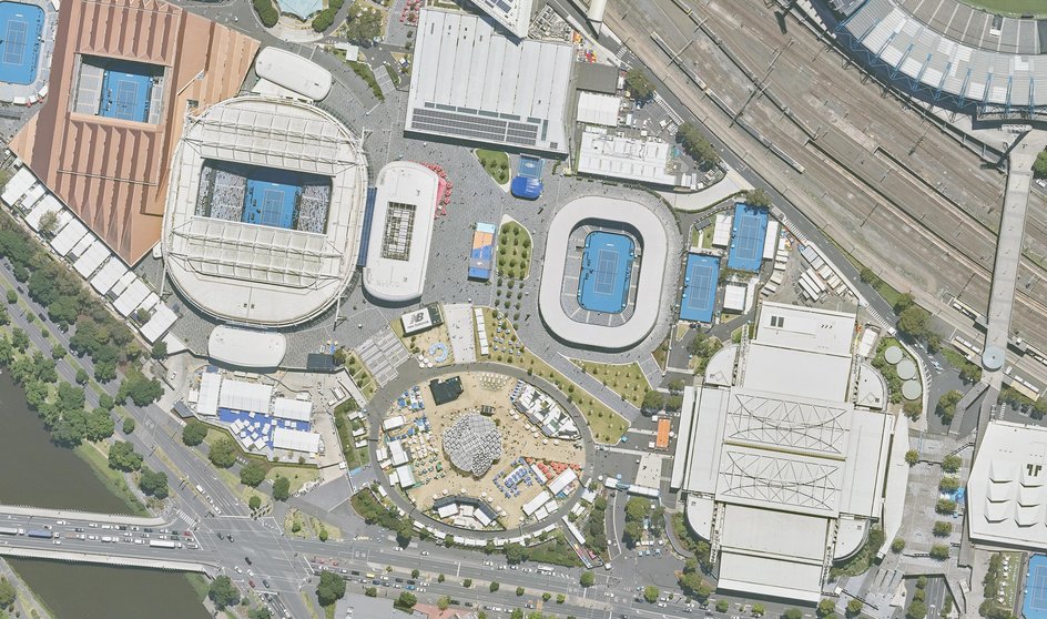
Utilise high-resolution aerial imagery to facilitate clear communication with stakeholders. Simplify complex spatial information, align expectations, and foster trust through transparent visual presentations.
Leverage historical aerial imagery to track asset changes, anticipate maintenance requirements, and assess potential risks. Conduct efficient, data-informed inspections to maintain infrastructure safety and reliability over time.