Tired of rigid data limits and high costs? MetroMap offers more value, better data control, and seamless access, solving the common frustrations of aerial imagery users.

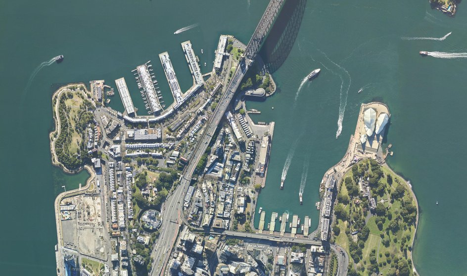
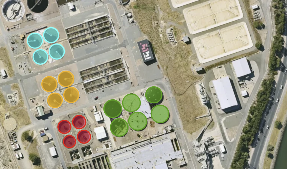
MetroMap offers a greater return on investment for your business with flexible allowances and pricing to suit your usage. Access regularly updated aerial imagery covering key metro & regional areas of Australia, backed by the accuracy, resolution and quality that Aerometrex is known for.

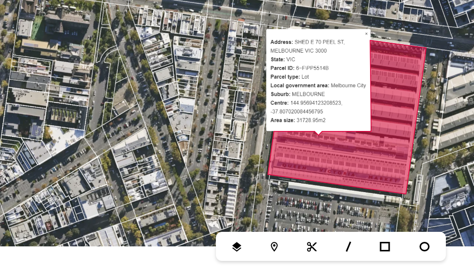
We give you freedom when using our imagery. The ability to export your project layers, annual data allowances that can be used across the year at any time to suit seasonal work, offline imagery extracts, and optional 3rd party data hosting, are just a few ways we give you more control.

Benefit from our range of APIs allowing you to access our imagery in most GIS packages. We also offer better efficiency for Esri users through our MetroMap Image Dedicated service. Our flexible APIs for partner platforms help complement their solutions with our high-resolution imagery.

Features such as SSO (Single Sign On) can be a game-changer in terms of security and ease of access for large organisations. Additionally, for businesses using the Esri suite of applications, MetroMap Image Dedicated can further simplify seamless imagery access.

Our ethos is to remain focused on collaborating, listening and trying to address our users' unique requirements. Using an Australian-owned product backed by over 40 years of experience ensures you get the best service. Get the help you need, when you need it.
Don’t settle for “near enough.” Discover the value, flexibility, and customer-focused service that sets MetroMap apart. Get in touch with our team today, to learn more and see how we can help your business elevate your aerial imagery experience.