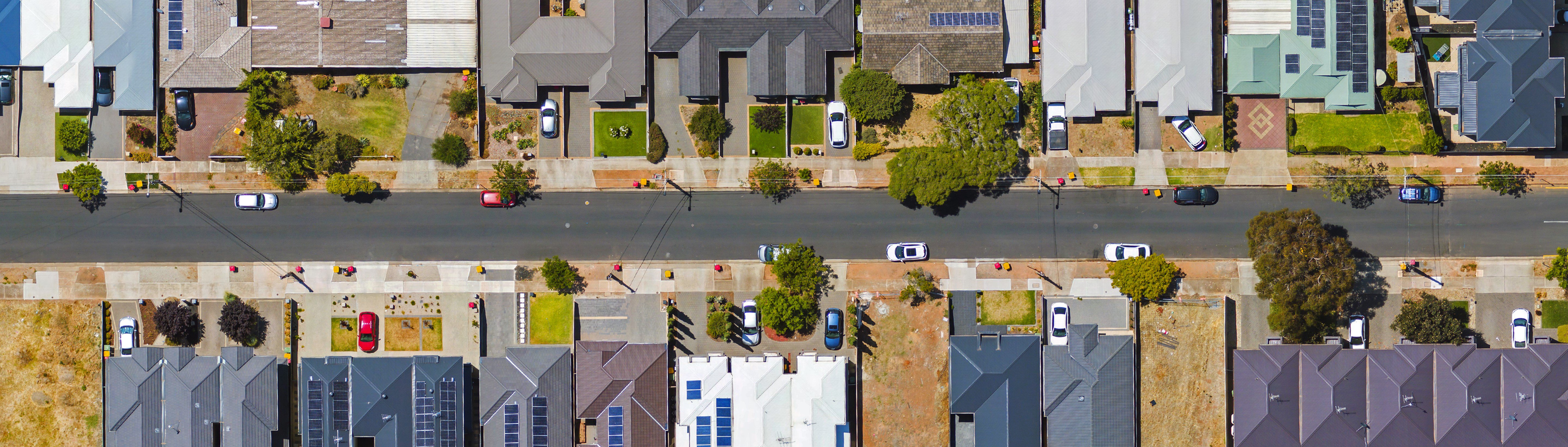
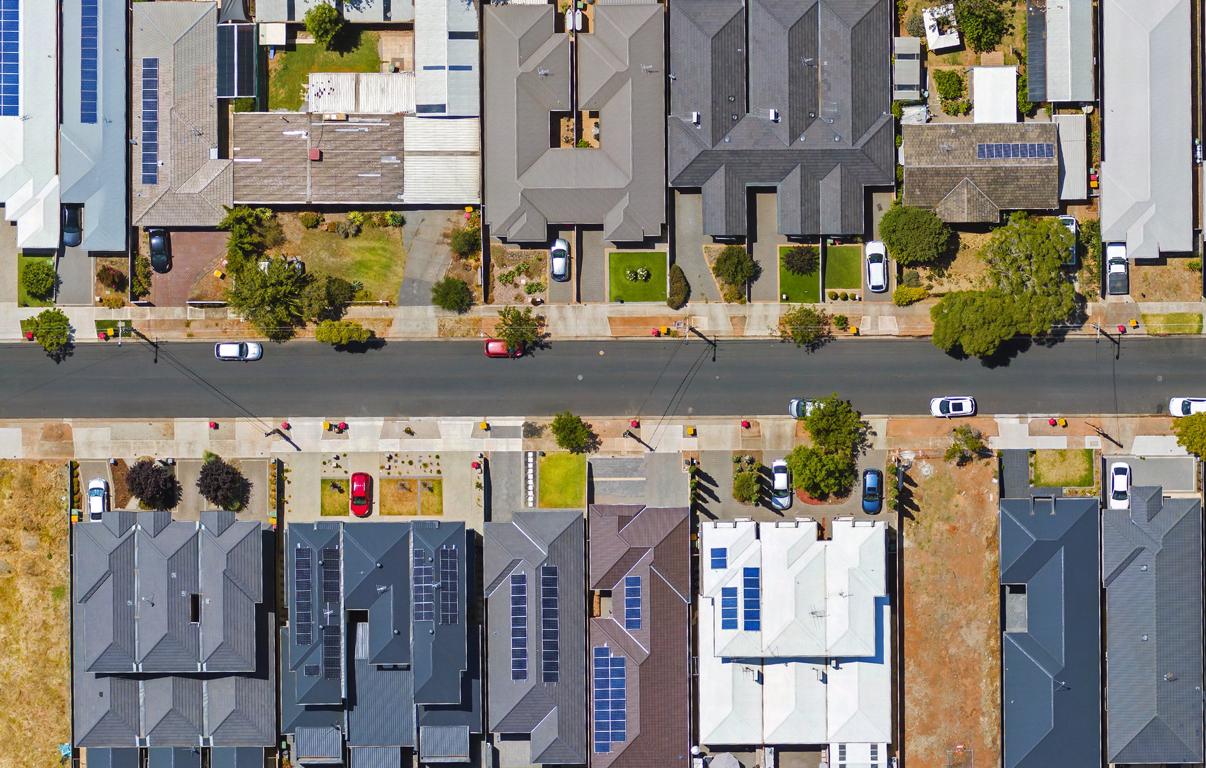


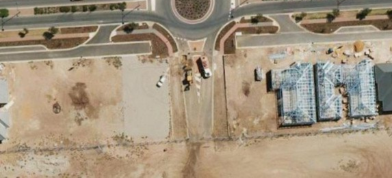
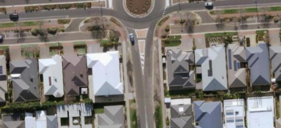
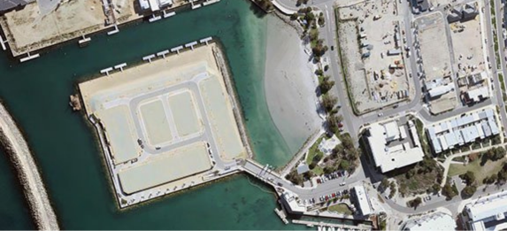
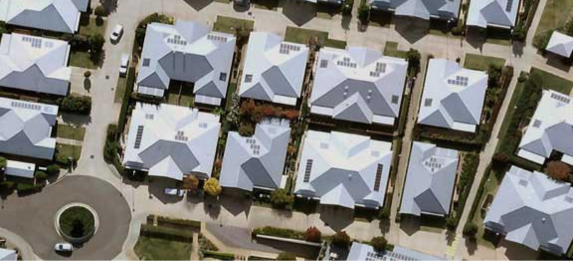
Say goodbye to outdated imagery. Conduct detailed site inspections, take accurate ground measurements, monitor change, see detailed land and building information, and access years of historical imagery without ever leaving your office.
Gain access to up-to-date aerial imagery cost-effectively with our flexible plans & transparent pricing. Choose from our standard plans or custom build one that suits you.
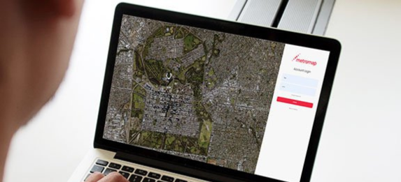
Get easy access via our web-based MapViewer and its extensive tools & features, or import our imagery into your platform of choice with our APIs.
Proudly developed, owned, and operated in Australia, our imagery captures the detail and accuracy needed for local conditions, whether you're planning a backyard project or managing national infrastructure. With extensive coverage and fast local support, you can rely on MetroMap for insights that are truly homegrown.
